Copyright NBC 5 Chicago
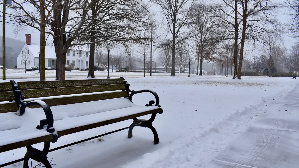
A lake-effect snow system is poised to bring Chicagoans their first taste of winter weather this weekend, unleashing up to six inches of accumulating snow. A winter storm watch will take effect at midnight on Monday for portions of Cook and Will counties, as well as Lake and Porter counties in northwest Indiana, as "intense bands" of lake-effect snow are possible, the National Weather Service said. Parts of the Chicago area will be spared, and those expecting snow likely won't see any accumulation until Sunday night. But some flurries are possible earlier on this weekend. As the region gears up for a wintry blast, here's what is expected to happen and when: Saturday afternoon Rain will likely start developing in the late afternoon and begin spreading from east to west, the NWS stated in a social media post. If you have any outdoor plans, you'll want to keep your umbrella handy. Temperature-wise, readings in the mid 40s to low 50s are expected, though they won't stick around for long. Saturday evening As temperatures drop during the evening hours, showers will begin transitioning to slushy, wet snow through early Sunday. According to the NWS, a low chance - roughly 20 to 30% - exists for slushy accumulation away from Lake Michigan. Cooler air will cause temperatures to plunge to around the freezing mark, and will chill values will drop to the 20s. Sunday morning/afternoon Parts of the Chicago area could wake up to snow early Sunday; a band of lake-effect snow might lead to minimal snowfall along the lakefront. More than an inch of snow is possible by noon in parts of DeKalb and Kane counties, but that will mainly be on grassy areas, NBC 5 Storm Team Meteorologist Pete Sack said. Sunday evening/overnight Monday The main event will occur beginning late Sunday, as multiple "intense bands" of lake-effect snow arrive. Localized snowfall rates in excess of two inches per hour, along with low visibility and northerly wind gusts exceeding 35 miles per hour, could lead to dangerous travel conditions, the NWS stated. Meteorologists warn that untreated roads, and especially bridges and overpasses, may become slick and hazardous. Monday morning Continued snowfall could lead to a hectic commute Monday morning. So if you'll be heading out the door early on, make sure to give yourself extra time. The NWS emphasized the worst conditions are expected during the commute, but they might not be widespread. The agency noted lake-effect snow is "often very localized, with conditions varying from safe to dangerous across just a few miles." As of Saturday afternoon, it remained uncertain where the lake-effect snow bands will go, though northeastern Illinois and northwest Indiana were the "primary threats." How much snow should I expect? Curious about how much snow you could get by late Monday? Projected totals from some Chicago-area communities are below: