Copyright Newsweek
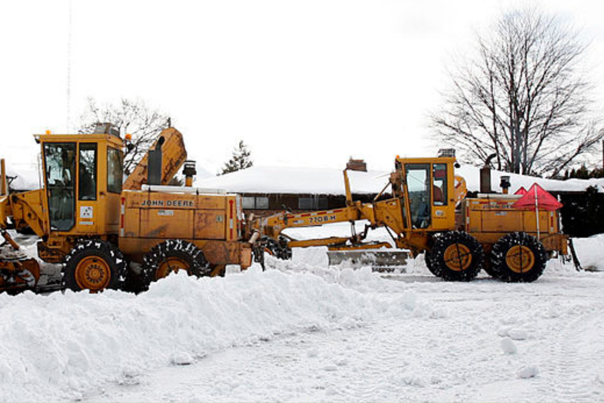
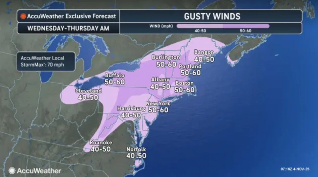
Parts of the far North, Northwest, and the Mountain West region should prepare for up to 16 inches of snow to fall overnight Wednesday through to Friday morning, the National Weather Service (NWS) has warned. Why It Matters The forecasted snow is expected to create hazardous driving conditions, which will likely disrupt travel—with reduced visibility in some areas due to high, gusty winds and blowing snow—especially in higher areas and along major highways. What To Know According to NWS reports, heavy snow could affect the following three states: Alaska, Wyoming, and Washington. In Alaska, areas along the Thompson Pass could see around 9 inches of accumulated snow from overnight Wednesday through to Thursday evening, which is likely to affect morning and evening commutes. Conditions in this region will be particularly hazardous due to 40mph winds (which are expected to peak early Thursday afternoon), which will cause blowing snow, reducing visibility to around a half-mile or less. The NWS for Alaska has also warned residents to be careful if they must go outside, as “surfaces could be icy and slippery, increasing your risk of a fall and injury.” The Teton and Gros Ventre Mountains in Wyoming should prepare to see around 4 to 8 inches of snow and up to 12 inches in the highest parts of the Tetons overnight Wednesday through to Thursday afternoon. Winds could reach up to 40mph, which will make travel difficult, due to lower visibility, especially across the Teton and Togwotee passes. The NWS has urged residents and travelers to check the Wyoming Department of Transportation for local road condition updates. The Cascades of Whatcom, Skagit counties, and the Washington Pass should brace themselves for up to 16 inches of accumulated snow overnight Wednesday until Friday morning, especially in areas above 4,000 ft. Mount Baker in particular could potentially get up to 24 inches, and the highest elevations within the Cascades of Whatcom and Skagit counties could even see nearly 3 feet of snow. Residents should prepare to see the highest snowfall overnight on both Wednesday and Thursday–Thursday is likely to be the most intense—with one inch falling per hour, in some areas. The NWS has flagged that travel along Highway 20, west of the Washington Pass, will be “difficult to impossible,” which is likely to affect commutes. What People Are Saying The NWS has stated, “If you must travel, keep an extra flashlight, food, and water in your vehicle in case of an emergency.” What Happens Next The NWS advises travelers in affected regions to keep emergency winter kits in vehicles and check local road conditions before travel. Residents should also remain alert to rapidly changing forecasts, as conditions may deteriorate quickly.