Copyright Newsweek
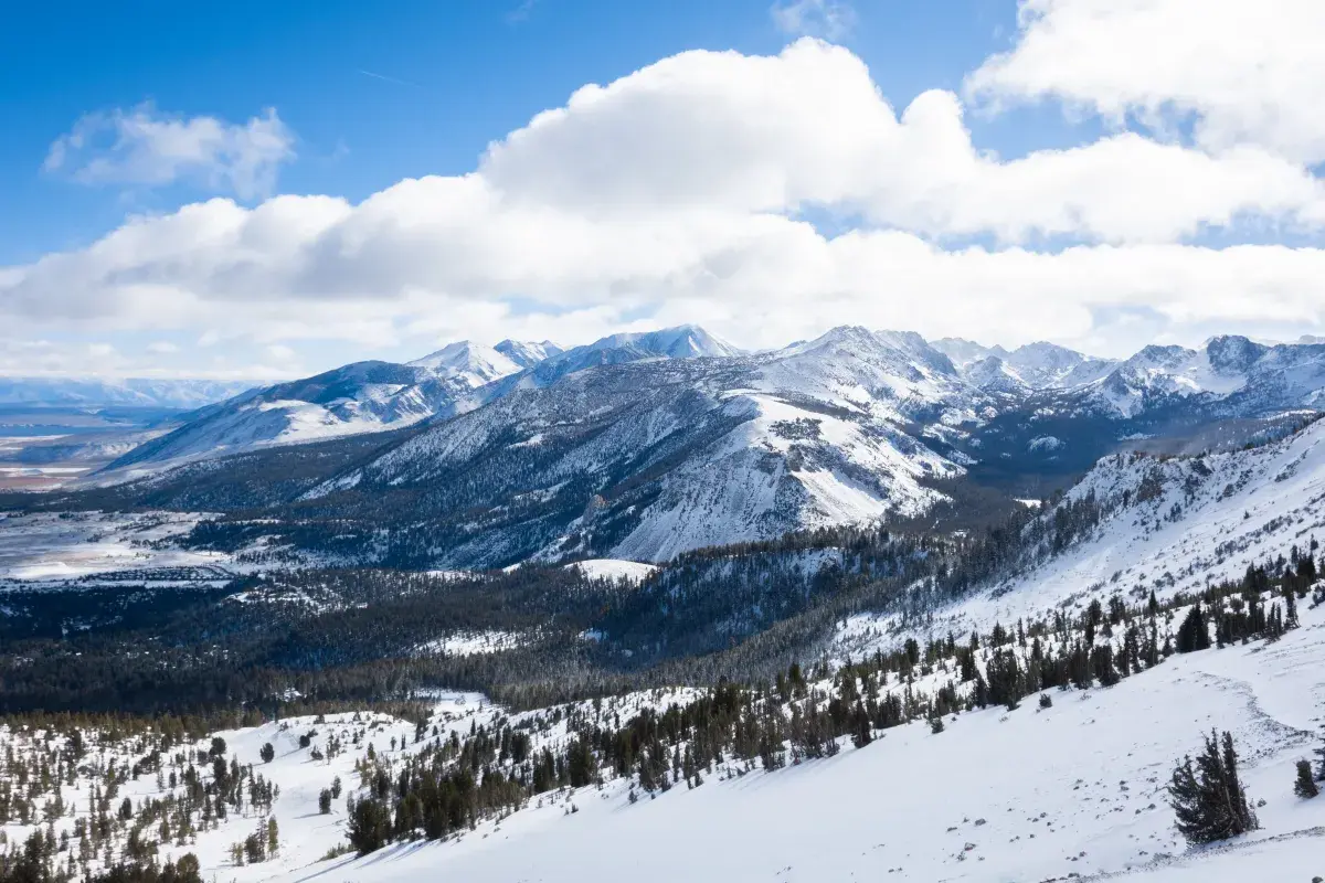
Thousands of people in California are under a winter storm watch on Monday as National Weather Service (NWS) meteorologists across the central part of the state warned of up to 2 feet of snow to fall beginning late Wednesday night. NWS meteorologist Stephen McCoy told Newsweek that the NWS will likely upgrade the watch to a winter storm warning by Tuesday evening. "We put out the watch to make sure people are aware that the ingredients are there for it to become a fairly significant winter storm," McCoy said, adding that mountain road closures are possible once the snow begins to fall. Why It Matters Winter storm watches have been issued for large portions of California's mountain regions as forecasters warn of potentially hazardous travel and significant snowfall. These alerts come as colder air and Pacific storm systems are poised to bring up to two feet of snow at higher elevations, posing risks to travelers, communities, and infrastructure across the impacted areas. The watches coincide with active weather patterns and gusty winds, increasing the potential for tree damage and road closures that can complicate commutes and disrupt essential services. What To Know The NWS has issued winter storm watches for several California mountain regions, warning that a potent storm system is expected to impact the state from late Wednesday night through Friday morning. The watches cover the western slopes of the Northern Sierra Nevada mountains and western Plumas County and Lassen Park. There, heavy snow was expected above 5,000 feet, with most likely accumulations of 4 to 8 inches at these elevations and 1 to 2 feet above mountain passes. Winds could gust up to 50 mph, further reducing visibility and increasing risks to travelers. The Winter Storm Watch is in effect from late Wednesday night through late Thursday night. In the eastern Sierra slopes, including Aspendell and Whitney Portal, heavy snow is possible, with 8 to 14 inches forecast between 7,000 and 9,000 feet and 1 to 2 feet possible above 9,000 feet. Winds may reach 40 mph. The Winter Storm Watch is in effect from late Wednesday night through Friday morning. A winter storm watch is also in effect for Yosemite National Park, Kings Canyon National Park, Sequoia National Park and the surrounding Sierra Nevada regions. Snowfall of 6 to 12 inches is anticipated above 5,000 feet, with up to 2 feet at higher elevations. Winds may gust up to 40 mph. Hazardous conditions could affect mountain highways, bridges, and overpasses, making travel "very difficult to impossible," according to the NWS. In addition to heavy snowfall, gusty southwest winds could exacerbate hazards and raise the risk of falling tree branches. The NWS also notes that the exact timing and snow amounts remain uncertain and encourages the public to check local forecasts frequently for the latest updates. The forecast comes alongside a broader pattern of colder air and precipitation affecting the U.S., with lake-effect snow expected in the Great Lakes region and frigid temperatures threatening hypothermia for people living in South Florida. What People Are Saying NWS in a Monday forecast: "Atmospheric river to bring heavy rainfall and mountain snow to the West Coast late Wednesday." NWS Hanford in a winter storm watch: "Travel could be very difficult to impossible. The hazardous conditions could impact the Thursday morning and evening commutes. Persons should consider delaying all travel. Motorists should use extreme caution if travel is absolutely necessary." What Happens Next Winter storm watches remain in effect as of Monday evening, with forecasters urging the public to prepare for rapidly deteriorating conditions in higher elevations starting late Wednesday. Uncertainty remains regarding the exact timing and snow totals, but even the lower range of predicted snowfall could cause significant transportation disruptions. Residents and travelers in the affected zones should stay alert to further updates and consider postponing or rerouting travel plans where possible.