Copyright Newsweek
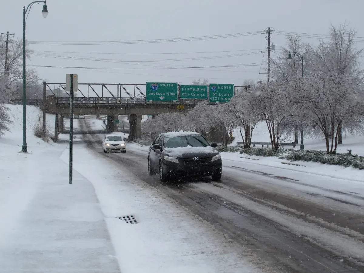
Multiple states across the U.S. have been hit with winter storm warnings, issued by the National Weather Service (NWS), which could bring up to 10 inches of snow in some areas, from Tuesday morning into the afternoon and in some cases, even Wednesday through to Thursday night. Why It Matters The NWS has warned that heavy snowfall and gusty winds could bring down tree branches, cause power outages, and create hazardous driving conditions, which is likely to impact morning and evening commutes. What To Know According to the NWS, heavy snow and, in some areas, winds of up to 100 mph are expected to hit many states across America, including New York, California, Maryland, Nevada, Alaska, and North Carolina. Badly affected areas are expected to include Swain County in North Carolina, which could get between 4 and 10 inches of accumulated snow in areas above 3,500 ft, and over one foot above 5,000 ft, in the Smokies. This, coupled with 45 mph winds, could make certain roads impassable. Graham, Haywood, Madison, Mitchell, and Yancey counties could see up to 8 inches and 45 mph winds, especially along the highest parts of the Tennessee border. Niagara and Orleans counties in New York should brace themselves for lake-effect snowfall—which is localized snowfall, with conditions varying across just a few miles—with some places getting up to 6 inches, until Wednesday morning. Jefferson and Lewis counties could see up to 9 inches, with the most snow expected to fall across the Tug Hill Plateau, through to Wednesday afternoon. Southern Herkimer County might see accumulated lake-effect snow reaching 6 inches and winds gusting as high as 40 mph, and Madison, Northern Oneida, Onondaga, and Southern Oneida counties could get between 3 and 7 inches of accumulated snow, falling until Tuesday night. Counties across West Virginia and Maryland could see between 3 and 6 inches of snow and winds as high as 45 mph, overnight Monday until Tuesday morning. The Haines Highway, near Haines Customs in Alaska, could get snow accumulations of between 4 to 6 inches, west of MP 24 toward the border, and the Klondike Highway could get up to 11 inches, with winds reaching 35 mph, which is expected to last until midday on Tuesday. Parts of central California should brace themselves for up to 12 inches of snow above 5,000 ft—possibly even 2 feet in higher areas—and winds of up to 40mph, which could last until late Thursday night. The Greater Lake Tahoe Area could see heavy snow accumulations of up to 18 inches along the Sierra crest and 1 to 5 inches at lake level, with wind gusts exceeding 100 mph on the ridges. Mono County could see up to 12 inches along Highway 395 from late Wednesday through to late Thursday night. The NWS has told residents to “consider delaying all travel.” What People Are Saying The NWS issued this official warning: “Strong winds will lead to blowing snow, reduced visibility, and possible power outages. The heavy snow will make many roads impassable and may produce power outages due to the weight of the snow on tree limbs and power lines.” The NWS for parts of California and Nevada said: “Uncertainty in the storm track and snow levels means amounts could be higher, with a 25 percent probability of up to 18 inches in communities along US Highway 395 and 3 feet along the Sierra crest…and a 25 percent probability of up to 6 inches along CA Highway 44 and CA Highway 36.” What Happens Next The NWS has urged those in affected areas to monitor the latest forecasts for updates. Drivers have been told that if they must travel, they should slow down, take extra care, and carry an emergency kit—with a spare flashlight, warm clothes, non-perishable food and water, and a shovel—in case of emergencies.