Copyright newsweek
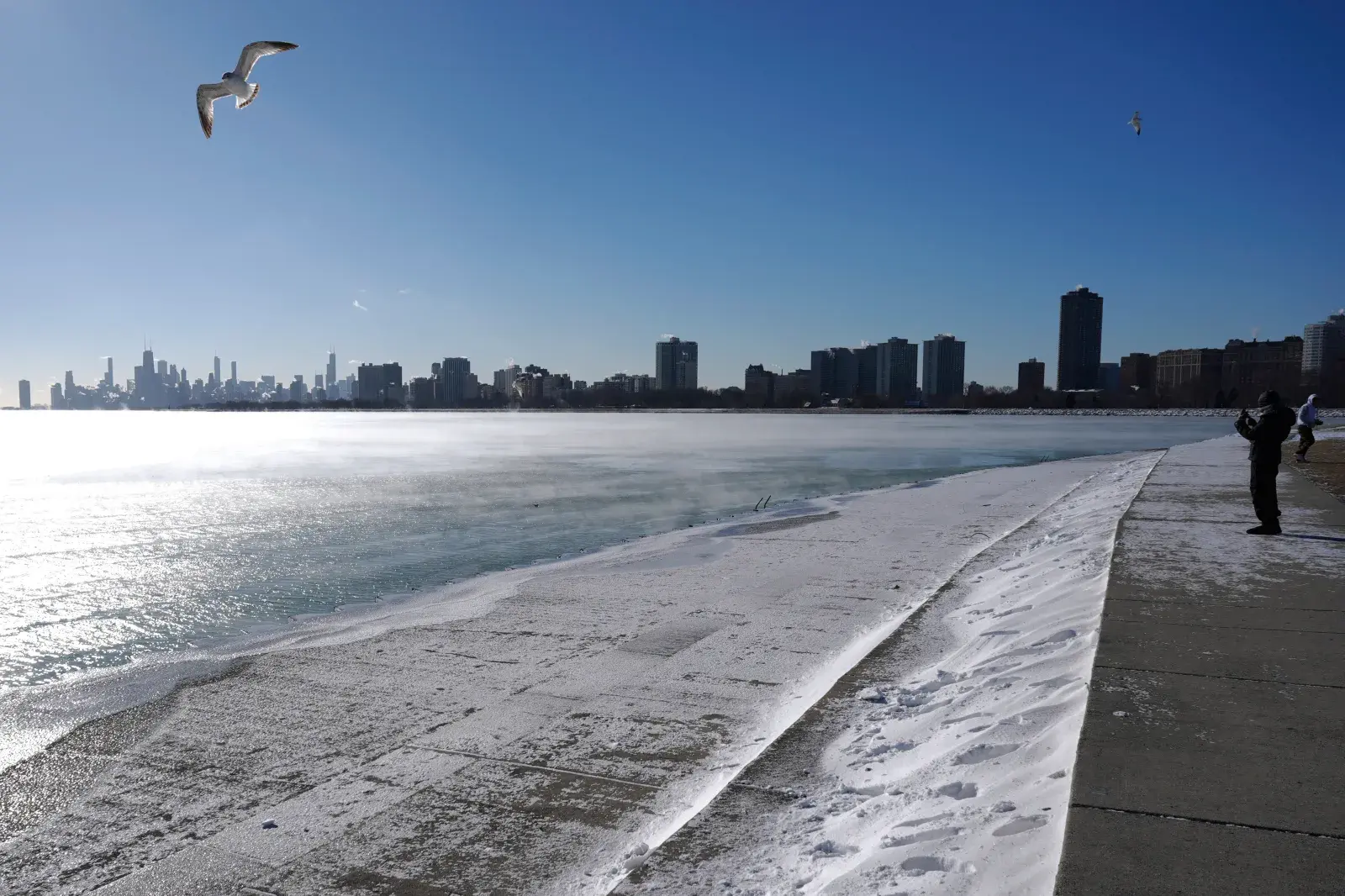
A winter storm watch and warning are in effect near the Great Lakes where heavy lake effect snow and strong winds are expected through Monday. Some areas could see up to a foot of snow, creating “dangerous to impossible travel conditions,” according to the National Weather Service (NWS). Why It Matters Lake effect snow is a weather phenomenon that occurs when cold air passes over a warmer body of water, such as the Great Lakes. The warmer lake water heats the cold air above it, causing the air to pick up moisture, and as this moist air moves over land and cools, it condenses and falls as snow. The agency warned that “lake effect snow is often very localized, with conditions varying from safe to dangerous across just a few miles,” urging residents to not drive during certain times and areas under the expected conditions. Areas of Wisconsin, Michigan, Illinois, and Indiana, are expected to be hit by heavy snow and high winds, which will mark some of the first snow this season. What to Know NWS warned in a Sunday morning forecast that “moderate to heavy lake effect snow is expected downwind of the Lakes” noting that it will start over the Upper Great Lakes first and then flow south over the Lower Great Lakes, Ohio Valley, and Central Appalachians by the evening. Bands of intense lake effect snow are expected tonight into Monday near many of the Great Lakes areas highlighted in this image. Dangerous to impossible travel conditions are possible, including during the Monday Morning commutes for some. Get details for your area at… pic.twitter.com/gKji1hvcZK— National Weather Service (@NWS) November 9, 2025 In regions around the Great Lakes, a winter storm warning is in effect from 11 a.m. ET Sunday morning until 7 p.m. ET Monday evening, with expected high winds up to 30 miles per hour as well as significant snowfall. The weather agency noted that the Chicago metro area could receive “between 6-12 inches of snow with isolated higher amounts possible, while Marquette could see over a foot of snow by Tuesday morning.” The NWS Chicago office stated that “lake effect snow will be intense” in the counties bordering Lake Michigan, “with snow rate >3"/hr and frequent lightning/thunder.” In a post, the satellite office advised residents to not travel in the regions surrounding Lake Michigan. The branch warned of dangerous travel conditions due to the lake effect snow which is of concern for “untreated roads, and especially bridges and overpasses” that may “become slick and hazardous.” In northern Indiana, similar snow levels between 5 and 11 inches are expected. The NWS warns residents about difficult “hazardous conditions” that may impact travel and commute routes. “During lake effect snow, the weather can vary from bands of locally heavy snow to dry weather just a few miles away. Visibilities can also vary greatly. Be prepared for rapid changes in weather, visibility, and road conditions.” In parts of Michigan, the service issued a winter weather advisory until 7 pm Sunday evening that warns “a burst of snow is possible this afternoon along the lakeshore. Quick accumulations up to 4 inches are possible.” A woman bundles up as she takes photos of the Lake Michigan at Montrose beach in Chicago on January 16, 2024. (AP Photo/Nam Y. Huh) What People Are Saying Chicago’s Office of Emergency Management and Communications post on its official X account on Sunday: “If you plan to travel tonight or tomorrow, keep your emergency car kit stocked with food, blankets, & other supplies in case you get stranded & need to wait for help.” NWS Marquette said in an X post Sunday morning: “Lake effect snow showers will continue to shift west through this evening.” AccuWeather wrote in an X post on Sunday: “The season’s first lake-effect snow will fire up from the Great Lakes to the Appalachians as Arctic air plunges south, bringing the earliest flakes in years for some locations.”