Copyright NBC 5 Chicago
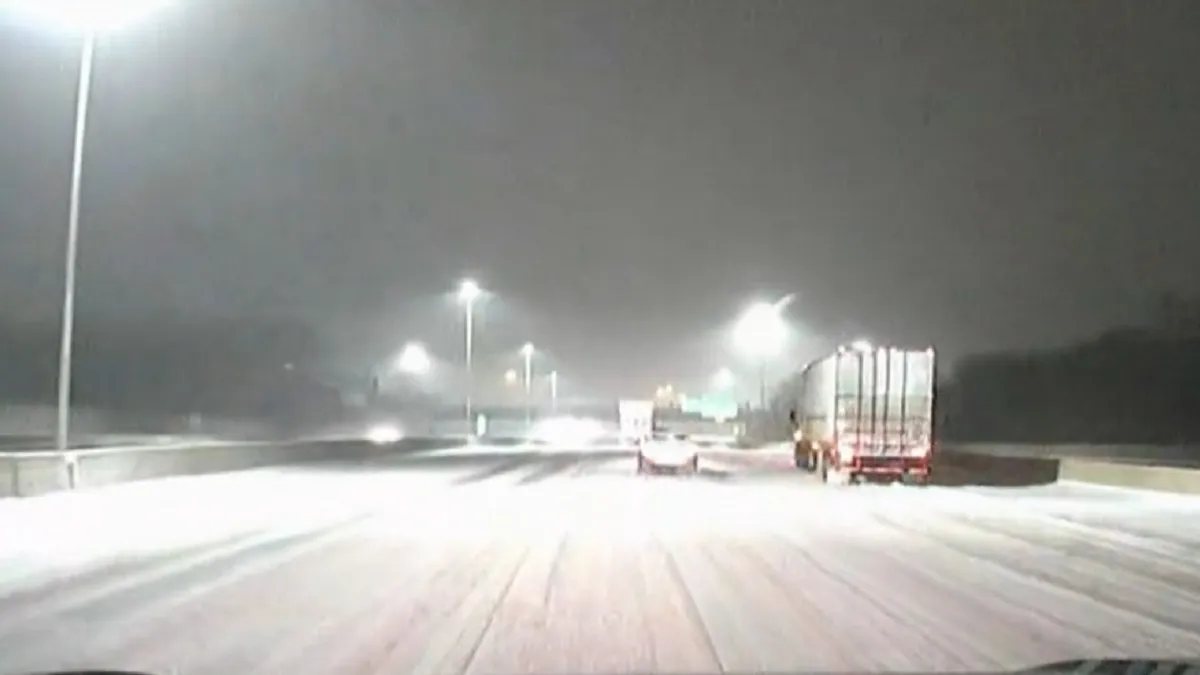
The Chicago area got its first taste of snowfall on Sunday, but things are about to get a lot worse in coming hours. A winter storm warning has been issued for Cook and Kankakee counties, along with eastern Will County in Illinois, along with Lake, Porter and LaPorte counties in northwest Indiana. That warning comes as an intense burst of lake-effect snow, fueled by warm lake water temperatures and a huge inflow of moisture, hammers the area, with snowfall rates of several inches per hour possible at times. Here’s what you need to know about the hours ahead. Late Sunday Night After a cloudy afternoon and evening, the first hints of lake-effect snow will begin pushing onshore in Cook County, with light snow expected at first. Slowly but surely that snow will begin to become more widespread as the clock turns to Monday morning, impacting travel and potentially causing visibility issues thanks to gusty winds, which will persist through much of the storm. Early Monday Morning That lake-effect snow will continue becoming more widespread, with wind chills remaining frigid in the mid-to-upper teens, according to forecast models. Travel impacts could become more widespread as the morning moves along, with wind-whipped snow and heavy accumulations causing dangerous conditions on roadway, especially near the city of Chicago. Monday Morning After Sunrise The heaviest of the snow is expected around daybreak, with the potential existing for several inches of snow to fall per hour, according to forecast models. If that happens, snow plows will be unable to keep up with the snowfall, making for impassable conditions and the potential risk for stranded vehicles on roadways. Motorists are urged to avoid travel in the most-impacted areas if at all possible until the system begins to slide off to the east. Monday Afternoon Snow will start to push into northwest Indiana in the late morning, but the heaviest snow won’t arrive until the early afternoon along a line stretching from Lake to LaPorte counties, according to forecast models. Wind chills will remain frigid, with feels-like readings in the 20s possible. The Chicago area will see gradual clearing, with temperatures in the 30s and gusty winds still potentially causing some issues with visibility. Monday Evening Snowfall will come to an end across the entire area, but temperatures are still expected to be on the cold side, with lows in the 20s overnight into Tuesday morning, according to forecast models. Tuesday Temperatures will warm slightly under partly-to-mostly sunny skies, with highs in the low-to-mid 40s across the area. Wednesday Temperatures are expected to rise again into the upper-40s and low-50s, potentially fueling snowmelt before even warmer temperatures arrive for the weekend, with highs potentially soaring back into the upper-50s or even the low-60s by Saturday.