Copyright berkshireeagle

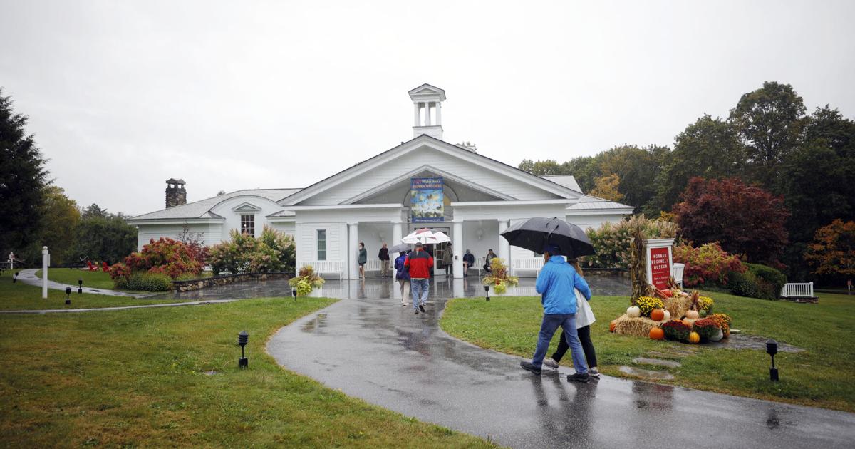
This week’s rainfall, exceeding predictions, was highly beneficial for the Berkshires, easing the moderate drought in North County and the abnormally dry conditions in central and southern sections, as reported by the U.S. Drought Monitor. The total at the National Weather Service’s automated observation station at Pittsfield Municipal Airport came to 2.25 inches, mostly on Thursday from periodically heavy downpours. Some areas, notably in Savoy and Clarksburg, measured just over 3 inches, according to the National Weather Service in Albany, N.Y. (The NWS observation station at Harriman-and-West Airport in North Adams remains out of service, as it has been for the past several weeks.) That brings the September rainfall so far to 3.3 inches, meaning we’ve had 75 percent of the average precipitation for the month. Bottom line: The showers were most welcome, but were not a cure-all for three months of below-average rainfall. Temperatures continue to run well above the normal mid-40s to mid-60s range for late September. That’s expected to continue for this weekend and into early next week, with dry conditions returning outside of a low-probability chance of showers Saturday night, per the National Weather Service forecast for the Berkshires. By midweek, temperatures should be closer to normal, but there’s no frost in the forecast for the next seven days. We’re into the final five weeks of the hurricane season, and the tropics are churning with two systems gaining strength in the southwestern Atlantic. Humberto became a hurricane on Friday, with a potential tropical storm to be named Imelda near the Bahamas, AccuWeather.com reported. It’s a rare pattern; if it develops as predicted, Imelda could threaten the Carolinas early next week with a potential for heavy rain, flooding and high winds. "The proximity of two storms expected within hundreds of miles of each other has made this a challenging and complex forecast," AccuWeather Lead Hurricane Expert Alex DaSilva pointed out in an online update Friday morning. The last time something similar occurred near the U.S. was in 2016, when Hurricanes Matthew and Nicole were about 800 miles apart. Early next week, Humberto and Imelda could be about half that distance apart, with the potential for interaction between them affecting the track and strength of each storm, he stated. "We expect Humberto to track well off the coast of the U.S. but bring some wind and rain to the islands of Bermuda in the early to middle part of next week,” DaSilva said. The Northeast hasn’t been immune from tropical rainstorms, but it has been more than three decades since a true hurricane made landfall in the region and over 70 years since a major one did. “The Northeast is climatologically overdue for a direct hurricane landfall,” according to AccuWeather Chief Meteorologist Jonathan Porter. “This kind of storm will happen again in New England; it’s just a question of when. People have to be prepared.” The Climate Prediction Center’s extended forecast for Oct. 4-10 shows above average temperatures continuing, along with below normal rainfall. Day by day... Saturday: Mostly sunny, near 75, calm wind. Mostly cloudy at night, slight chance of showers, low in the mid-50s. Sunday: Partly sunny, mid-70s, calm to light winds. Mostly clear after dark, late-night low near 50. Monday: Mostly sunny, mid-70s; cloudy overnight, low 50s. Tuesday: Partly sunny. near 75. Partly cloudy overnight, mid-40s. Wednesday: Sunny, low 60s, mostly clear after dark, late-night low in the mid-30s. Thursday: Sunny, high around 60. Clear overnight, mid-30s. Friday: Partly cloudy, mid-60s, down to low 40s at night. Saturday (Oct. 4): Some cloudiness, high 65-70. Sources: National Weather Service and AccuWeather.com


