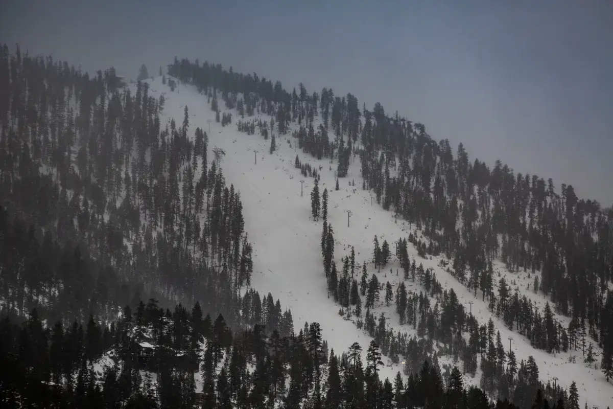
Nevada and Wyoming were under winter weather-related alerts from the National Weather Service (NWS) early Thursday, with some areas expected to receive up to 11 inches of snow.
Why It Matters
Snowfall forecast across sections of these states could make travel difficult, the NWS cautioned.
What To Know
A winter storm warning, which the NWS issues “when a significant combination of hazardous winter weather is occurring or imminent,” was in effect for the Ruby Mountains and East Humboldt Range in Elko County, Nevada.
The NWS said heavy snow, with accumulations up to three inches would be possible.
“Winds will gust as high as 50 mph on exposed ridgetops and near the crest. Travel will be extremely difficult or nearly impossible,” said the agency. “Snow-covered roads are expected on State Route 229 through Secret Pass, up to Lamoille Canyon, and across Harrison Pass in the southern end of the Ruby Mountains.”
Winter weather advisories were in effect for mountainous regions of western Wyoming, including the Teton and Gros Ventre Mountains and Salt River and Wyoming Ranges, Wind River Mountains, and the Absaroka Mountains.
The NWS says these are issued “for any amount of freezing rain, or when 2 to 4 inches of snow (alone or in combination with sleet and freezing rain), is expected to cause a significant inconvenience, but not serious enough to warrant a warning.”
In these areas, the NWS warned of several inches of snow and slick over mountain passes. It said outdoor recreationists should be prepared for cold, wet conditions, and urged drivers to slow down and use caution while traveling, with winter conditions expected over mountain roads and passes.
The Wind River Mountains were expected to see between 3 and 6 inches of snow between 7,500 and 9,000 feet, with between 5 and 10 inches possible in higher terrain, the NWS said.
The advisories were in effect until 11 p.m. MST as of reporting.
What People Are Saying
Chris Hattings, a meteorologist with the National Weather Service forecast office, Riverton, Wyoming told Newsweek: “After the advisories expire on Thursday night, we are not anticipating any more advisories to be issued through the weekend. Another cold front may bring some more snow to the mountains on Saturday, but amounts are currently expected to be light. Otherwise, things should be mainly dry with temperatures close to seasonal normals.”
NWS Elko said in a post on X, Wednesday: “A storm system will impact Northern and Central Nevada this afternoon and tonight, resulting in periods of precipitation. Snow levels will start at around 6,000 feet, before rising to about 7,000 feet this afternoon. Most of this precipitation will fall this afternoon.”
What Happens Next
At the time of writing, the winter storm warning for Nevada was in effect until 5 a.m. PDT on Thursday.