Copyright Newsweek
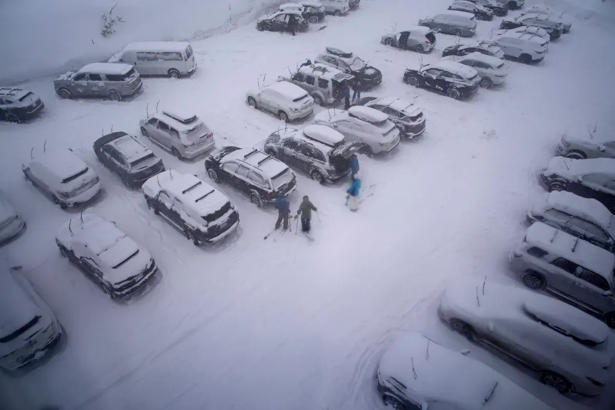
Parts of America have been told to continue to brace themselves for more wintry weather, as gusty winds as high as 100 mph and up to 2 feet of snow are expected to blanket certain areas from Wednesday, with some areas experiencing snowfall until Friday afternoon, according to the National Weather Service (NWS), which has issued alerts for three states. Why It Matters Heavy snow and blustery winds are likely to create problems on the roads, with the NWS warning that some roads will be “impassable,” urging drivers to slow down, especially during their morning and evening commutes. Thick snow and high winds could also bring down tree branches and damage power lines, leading to possible power outages. What To Know The following three states have been issued winter weather advisories by the NWS: New York, Nevada, and parts of California's Northeastern region. New York Niagara and Orleans counties should prepare for lake-effect snow, which, according to the NWS, means “the weather can vary from bands of locally heavy snow, with greatly reduced visibilities, to dry conditions just a few miles away.” The most affected areas could see additional snow accumulations of up to 3 inches until Wednesday morning, but snowfall is expected to turn to rain as the day progresses. The Eastern Lake Ontario region could also see lake-effect snow, but some areas could get as much as 6 inches, with the biggest accumulations expected across the Tug Hill Plateau and through Jefferson County. Snowfall is likely to continue until Wednesday afternoon, and turn to rain throughout the afternoon, across the lower areas. Lake-effect snow is expected to hit Northern Erie County, which could get up to 3 inches until Wednesday morning, and “a brief period of moderate snow” is expected in the Buffalo Metro area and the Northtowns, before it turns to rain. Nevada Areas above 7,000 feet in the Greater Lake Tahoe Area should prepare for up to 10 inches of snow—up to between 8 and 16 inches is expected across the Sierra crest—from Thursday morning until Friday afternoon, with winds exceeding 100 mph on the ridges. Lake Tahoe itself could get 40 mph winds, which could create 4-foot waves. The NWS has warned that travel could be “very difficult,” especially across the Donner, Carson, and Ebbetts mountain passes. Areas above 6,500 feet in the West Slope Northern Sierra could get up to 8 inches of snow by Friday afternoon, with the highest regions south of Highway 50 potentially getting up to 2 feet, with winds as high as 50 mph. Northeastern California Lassen, Eastern Plumas, and Eastern Sierra Counties could get between 4 to 8 inches of snow above 5,550 feet and west of Highway 395 and 70 mph winds along the ridges from Thursday morning until Friday afternoon. Travel could be difficult along the mountain passes Northwest of Bogard. The Western Plumas and Lassen Park could get 50 mph winds and between 3 and 8 inches above 6,500 ft, with up to 2 feet of snow expected on the highest peaks south of Highway 50 from Thursday morning until Friday afternoon. What People Are Saying On X, the New York NWS said: “Scattered snow showers are expected across the area through this afternoon. This may result in some minor snow accumulations on cooler surfaces. In addition, gusty winds combined with the snow showers may result in briefly reduced visibility.” What Happens Next The NWS has forecast that in some states—particularly New York—the snowfall is likely to transition into rain as we move through Wednesday, but has urged residents and travellers in all badly hit areas to keep an eye on local forecasts for updates.