By Anna Skinner
Copyright newsweek
Roughly 5,000 people in Montana and Wyoming were warned of “major” impacts this weekend as National Weather Service (NWS) meteorologists issued winter storm watches on Thursday afternoon.
“This is a little early. It is around this time you start to see snow in the mountains. However, with this system, it is looking like the amounts are above normal for this time of year,” NWS meteorologist Adam Dziewaltowski, who works at the Riverton, Wyoming, office, told Newsweek.
Why It Matters
Some states are already beginning to see their first winter storms of the season. Weather alerts in advance are important to alert people in the areas of any impacts and to give them enough time to make the adequate preparations. This time of year, hunters often go into the mountains, Dziewaltowski said.
“The main concern is people being unprepared for the conditions out there,” he said.
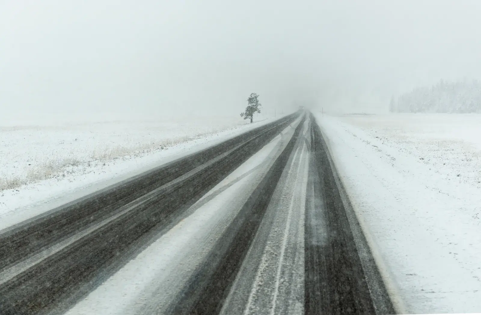
A stock image of a snowy road in Wyoming.
What To Know
In northern Montana, the winter storm watch was issued by the NWS office in Missoula. Snow accumulations up to 6 inches were expected above 5,500 feet elevation in Glacier National Park, the Going-to-the-Sun Road, and Logan Pass. Snow will begin falling late Saturday night and persist until Sunday morning.
“Expect considerable disruptions to normal activities,” the winter storm watch said. “Dangerous or impossible traveling conditions. Avoid travel in the impacted areas if possible. Widespread closures and disruptions to infrastructure may occur. Cold, wet, and windy weather will likely create hazardous backcountry conditions with increased risk of exposure, hypothermia, and frostbite to those without adequate shelter or clothing.”
Further south, the NWS office in Billings, Montana, and Riverton, Wyoming, also issued winter storm watches to go into effect this weekend.
The Billings alert warned of heavy snow up to 16 inches for the Beartooth Mountains, the northern Bighorn Mountains, and the Crazy Mountains, including in Cooke City. The alert warned of “very difficult” travel along the Beartooth Highway. Snowfall is expected to begin on Saturday morning and persist through Sunday afternoon.
“The greatest accumulations will fall on north to northwest facing slopes above 8,000 feet,” the alert said.
The NWS office in Riverton warned of heavy snow up to 12 inches in the Absaroka Mountains and Bighorn Mountains. Snowfall is expected between Saturday afternoon and Sunday afternoon.
“Travel could be difficult at times especially along US 14 over Granite Pass and US 16 over Powder River Pass,” the watch said.
What People are Saying
NWS Missoula in a winter storm watch: “Visitors to Glacier National Park, hikers, campers, and bow hunters should be prepared for winter weather conditions.”
NWS Billings in a winter storm watch: “Recreation in the high country could be impacted by heavy accumulating snow.”
NWS Riverton in a winter storm watch: “Heavy snow possible. Total snow accumulations of 6 to 12 inches above 9000 feet with localized amounts of 14 or more inches in the highest peaks. Elevations between 7000 and 9000 feet can see total snow accumulations of a trace to 6 inches.”
What Happens Next
Most snowfall should end by Sunday evening. However, people in the area, especially hikers and outdoor recreators, should prepare for the storm and avoid travel during periods of heavy snowfall.