Copyright NBC 5 Chicago
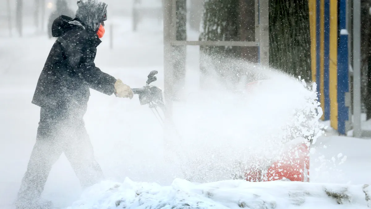
A weather phenomenon called "The Blob" could have a major impact on Chicago's winter forecast, but what is it exactly? While it may be the title of a famed horror movie, this version of "The Blob" isn't the stuff of science fiction. Here's what you should know: What is "The Blob"? "The Blob" is also known as a "marine heatwave," or "when ocean temperatures are much warmer than usual for an extended period of time," according to the National Weather Service. "The Blob" was first identified as part of a large marine heatwave that began in 2014 over the northeast Pacific Ocean. It persisted through mid-2016, leading to "unprecedented harmful algal blooms, shifting distributions of marine life, and changes in the marine food web," according to the NWS. Weather According to experts, the “Blob” is now driving temperatures way above their average marks for a roughly 5,000-mile stretch of water spanning from Japan to Alaska. The ocean is absorbing heat created by human-caused climate change, and the phenomenon has caused Japan to break its record for its hottest summer ever each of the last three years. How could it impact Chicago-area weather? NBC 5 Storm Team Meteorologist Kevin Jeanes explained the large mass of warm water creates higher air pressure, which pushes the Pacific jet stream further north over the ocean and along the Pacific coast of the United States. The jet stream then dips as it swings southward toward the Midwest. As a result, storm systems are funneled down the jet stream and right into the Chicago area, as are potentially frigid air masses that push down from Canada as the jet stream sags to the south. What will that mean for winter weather? Those twin weather patterns can lead to more cold snaps and more snow storms in the Chicago area. When combined with a weak La Niña pattern, this can heighten that jet stream movement as well, according to researchers at the University of Illinois. As a result, many weather experts are suggesting that this year’s winter forecast could mirror that of the winter of 2013-14, when Chicago had its third-coldest winter on record. A total of 25 days saw temperatures either at 0 degrees Fahrenheit or below zero, and it was the third-snowiest winter on record as well, with more than 67 inches of snow falling during meteorological winter from December to February. Between November and April of that winter season, more than 82 inches of snow fell. Needless to say, such a winter would be a massive departure from what the Chicago area has seen in recent years. Last year’s winter featured the least snow the region had seen in nearly 90 years, and the winter before that had been the fifth-warmest on record. That forecast also aligns with predictions from the National Oceanic and Atmospheric Administration for the months of December, January and February.