Copyright Newsweek
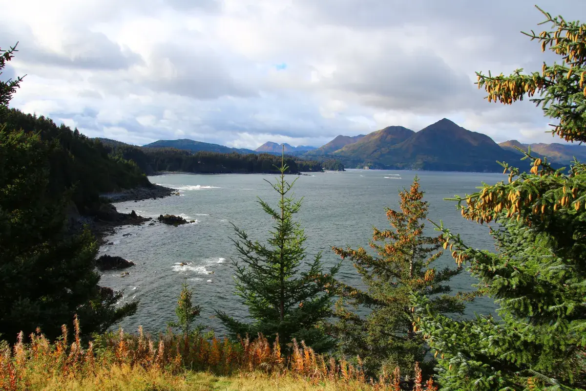
National Weather Service (NWS) meteorologists have issued a slew of urgent weather alerts, including hurricane-force wind and high wind warnings, as a strong storm pummels the Northern Gulf of Alaska on Wednesday. "Our storms get strong, especially in the shoulder seasons like fall," NWS lead meteorologist Virginia Rux told Newsweek. "And they make their way sometimes into the Bering Sea and sometimes into the Gulf [of Alaska]." Why It Matters The warnings come as Hurricane Melissa tore through Jamaica on Tuesday and battered Cuba on Wednesday. Though not related to Melissa and not tropical in nature, the storm in Alaska will spawn winds equivalent to a Category 1 hurricane, which could cause widespread power outages, damage to outdoor items, and difficulty traveling. Earlier this month, the remnants of Typhoon Halong battered Western Alaska's Yukon-Kuskokwim Delta, creating disastrous conditions that killed at least one person and caused entire homes to float away. Though not expected to be as severe as that storm, the current storm will bring more dangers to Alaska. What To Know NWS meteorologists at the Anchorage, Alaska, office issued a hurricane-force wind warning in the early morning hours on Wednesday. The office warned that winds could gust to 65 knots (74 mph), equivalent to a low-end Category 1 hurricane. The strong winds would cause 23-foot seas on Wednesday. The storm was expected to impact Kodiak Island and Cook Inlet. In addition to a hurricane-force wind warning, NWS Anchorage also issued a high wind warning, a storm warning, and a gale warning. "We are tracking a strong low pressure system headed for the Western Gulf of Alaska this Wednesday," NWS Anchorage posted on X on Tuesday. "It is expected to produce hurricane force gusts, high seas, and rain. Stay tuned to the forecast as we continue to monitor the system throughout the week." The storm is expected to last through Thursday morning. Winds would be strongest on Wednesday afternoon, before weakening to tropical-storm-force conditions of 40 knots (46 mph) on Wednesday night into Thursday morning. Looking further out, the winds would strengthen to 55 knots (63 mph) on Thursday night, with seas forecast to reach 27 feet. After Thursday night, the winds will die down to around 30 mph through the weekend. "A strong low and its front moves north into the Gulf of Alaska this morning, bringing strong easterly winds across Kodiak Island through early afternoon," NWS Anchorage said in a high wind warning. "Winds peak late morning and diminish through the evening. The strongest winds will be along the eastern coast and areas susceptible to easterly channeled winds." In addition to the wind, heavy rainfall will accompany the storm, with up to 2 inches in some areas, though higher elevations could see even more. What People Are Saying NWS Anchorage in a high wind warning: "High winds may move loose debris, damage property, and cause power outages. Travel will be difficult. The warning added: "People are urged to secure loose objects that could be blown around or damaged by the wind. Prepare for the possibility of widespread power outages. Use caution if you must drive." What Happens Next The high wind warning expires for Kodiak Island on Thursday afternoon, around 1 p.m. local time. The hurricane-force wind warning will remain in place throughout Wednesday.