Copyright Salt Lake Tribune
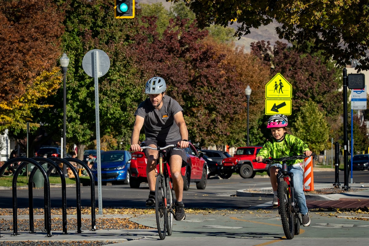
One day you could bike from the pristine blue waters of Bear Lake to the towering red walls of Zion Canyon — all on protected, paved paths running the length of the state, if a map showing potential routes comes to pass. Gov. Spencer Cox unveiled the first complete map of the planned Utah Trail Network — a freeway-like system for bikers set to link communities in all corners of the state — on Tuesday. The regional path system, backed by state legislators during the 2023 general session, would be the first of its kind nationwide. “We need to spend more time outside, more time connecting with people and more time exercising, and the way we do that is through our trail system,” Cox said in a news release. “The Utah Trail Network helps every Utahn commute, recreate and enjoy Utah. It’s a great way to build for future generations.” Utah Department of Transportation officials lauded the system as a solution to a variety of ills, including poor air quality, lacking access to non-car travel and traffic congestion. The network has been in the works since lawmakers dedicated $45 million in ongoing money and $45 million in one-time funding to it in 2023. All trails in the network will be separated from traffic, making them safer and more user-friendly than simple painted bike lanes. “We’re going to be biting off chunks of this and really helping connect people,” UDOT Trails Division Director Stephanie Tomlin said, “and hopefully help them make the decision to ride their bike or get on a scooter or walk, even, to some of the places that they want to go.” Every corner of Utah The map shows routes connecting communities big and small with one another across the state. The Wasatch Front, Washington County and the Cache Valley appear with webs of trails, but even communities as small as Mexican Hat, population 21, and Beryl Junction, population 161, have connections to the network. In total, the plan shows 3,100 miles of paths, 500 of which have already been built, like the Legacy Parkway Trail in Davis County or the 9-Line Trail in Salt Lake City. The network would come within a mile of 95% of Utahns and over 96% of their workplaces. It would also connect to 33 higher-education campuses, six national parks, 25 state parks and 74 high-capacity transit stations. The map notes four different types of trails in the system. It marks existing trails with regional connectivity, like the Jordan River Trail in the Salt Lake Valley and the Moab Canyon Pathway linking Moab to Arches National Park. It also shows “base network” paths, which Tomlin said are plans that are already well-supported and likely to be built the soonest. The “gap closure” trails are those that need to be studied more, she said. Eventually, those paths might not run exactly where they are located on the map now, but will connect other key routes. Lastly, the “vision corridor” plans are the furthest from fruition and most likely to need additional funding, have complicated engineering and stretch across long distances. Tomlin singled out a handful of projects she’s particularly excited about, including: • A 10.7-mile base network route along 3900 South in the Salt Lake Valley, connecting St. Marks Hospital, the Meadowbrook TRAX light rail stop and Hunter High School • A trio of long vision corridor trails connecting across the Navajo Nation, including to Montezuma Creek, Bluff, Blanding and Monument Valley • A 66.3-mile base network trail along U.S. 89 from Panguitch to Kanab Rolling through red rock country Southern Utah Bicycle Alliance President Kelli Prince is excited about the network, especially in how it can help students get to school and encourage healthy choices. “The trails are valuable for many reasons,” Prince said. “The multiuse trail allows for kids to get to and from where they need to go safely. It also is a healthier lifestyle and the mental health world is way better when kids get outside.” She said the paved trail system in Washington County has improved each year, specifically shouting out a new path along 700 East in St. George that connects Utah Tech University to Red Hills Desert Garden and neighborhoods northwest. The statewide system is meant to be a backbone, Tomlin said, and she hopes cities build other smaller paths to knit their neighborhoods together even more deeply and make bicycling more appealing to residents. She also noted that this map could change as projects get added or changed in future planning cycles. The whole network would take decades to build out.