Copyright Salt Lake Tribune
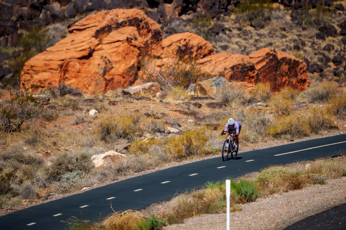
Imagine being able to commute easily from Washington City to St. George without having to hop in your car. Or check out Fire Lake Park at Ivins Reservoir before getting to lunch in Santa Clara on two wheels. State officials want to make those scenarios a reality. Last month, the Utah Department of Transportation published its first map of a planned statewide regional bike system known as the Utah Trail Network. The web of paved, protected multiuse paths — think of it as a freeway system for cyclists, walkers and joggers — would include connections from Cedar City to Hildale and Veyo to Toquerville. “Generations from now, people will look back and remember this as the moment Utah changed how we get around,” UDOT Executive Director Carlos Braceras said in a news release. “The Utah Trail Network will connect communities in every corner of the state and give people more ways to move, explore and enjoy life here.” The ambitious, decadeslong project would be the first statewide trail network of its kind in the country. It would include some existing paths, like the Bluff Street Trail in St. George and the Washington Parkway Trail. New trails would close gaps in southern Utah’s system and connect communities to one another over long distances. The most determined riders could pedal from Kanab all the way up to Bear Lake if the system is fully built out. A vast, statewide network In all, the Utah Trail Network would total 3,100 miles of paved paths, 500 of which already exist. The network would come within a mile of 95% of Utahns and over 96% of their workplaces. It would also connect to 33 higher-education campuses, six national parks, 25 state parks and 74 high-capacity transit stations. Utah legislators set the program in motion via a 2023 transportation bill. They earmarked $45 million in ongoing funds and $45 million in one-time money for the development and maintenance of the network. UDOT officials say making biking and walking safer and more accessible via the paved path system could have widespread benefits, including an improvement to air quality and reduced traffic congestion in suburbs and outside of national parks. Southern Utah Bicycle Alliance President Kelli Prince also noted that the paths would continue to help Utahns lead healthier lives, providing another option for outdoor recreation. “The trails are valuable for many reasons,” Prince said. “The multiuse trail allows for kids to get to and from where they need to go safely. It also is a healthier lifestyle and the mental health world is way better when kids get outside.” Southern Utah’s paved multiuse path system is already robust with routes running along the Virgin River, through Hurricane and to Snow Canyon. Prince also touted a new trail along 700 East in St. George that links Utah Tech University with Red Hills Desert Garden and neighborhoods northwest. “St. George and all of Washington County, frankly, has done a phenomenal job of trying to connect with trails,” said Stephanie Tomlin, UDOT Trails Division director. “They’re known for them. People, honestly, go there to ride some of these paved trails. This map represents a lot of extending their existing trails.” The map shows three types of proposed paths. “Base network” trails are ones that are already well-supported and likely to be built the soonest, Tomlin said. The “gap closure” trails need to be studied further and eventually might not run exactly where they’re delineated now, but will act as links between key routes. The “vision corridors” are longer-term plans stretching over greater distances and may include more complicated engineering. Connecting red rock country The map of proposed paths includes: • An 18.2-mile base network trail alongside State Route 9 from La Verkin to Springdale. • A 15.2-mile base network path on State Route 7 from its junction with Interstate 15 to the Washington Canal. • A vision corridor stretching 35.6 miles from Cedar City to Toquerville that would also run right by the entrance to the Kolob Canyons of Zion National Park. • A 3-mile gap closure link running through the heart of St. George via Diagonal and Main streets. Tomlin said UDOT would prioritize building portions of the network each year, but stressed that the entire system would likely take decades to complete. A couple of trails are already nearing construction in southern Utah. Two separate stretches, totaling 4.3 miles, of the Southern Parkway Trail are set to see work starting in 2027. The smaller section would run near State Route 7’s junction with Desert Canyons Parkway. The larger segment would link from Warner Valley Road north to about Lost Spring Drive. Construction on a multiuse path connecting Orderville to Mount Carmel Junction alongside five miles of U.S. Highway 89 is planned for next year.