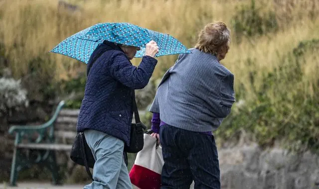
The first named storm of the season is set to bring heavy rain and strong winds from Friday into Saturday.
Storm Amy will develop in the North Atlantic due to interactions from the remnants of hurricanes Humberto and Imelda with a strong jet stream.
It is only forming now but will become a deep area of low pressure undergoing explosive cyclogenesis – that’s when the central pressure drops 24mb or more over 24 hours.
There is quite a bit of uncertainty in Storm Amy’s track and depth, which in turn has an effect on the strongest winds for the UK.
Its most likely track will be across northwest Scotland on Friday evening, bringing the strongest winds to northern and western Scotland.
Gusts there will widely reach 60mph to 70mph, higher on coasts and hills, potentially close to 100mph in some very exposed spots.
The highest ever recorded gust in Scotland in October is 106mph, seen at Salsburgh, Lanarkshire, on 18 October 1984.
Other northern and western parts of the UK and Ireland will see strong winds too, widely gusting 50mph to 60mph from Friday afternoon, locally higher.
If Storm Amy makes a more southerly track, that could take damaging winds into the Central Belt of Scotland.
If the track is further north, it could mean the strongest winds remain offshore, but that looks more unlikely at this point.
Heavy rain will be an additional hazard, spreading eastwards on Friday, with localised flooding possible.
Saturday looks more showery, but it’ll stay very windy, potentially stormy for the north of Scotland.
Read more:How are storms named?
Wind and rain warnings have been issued for the north and west of the UK and Ireland, with an amber wind warning covering northern and western Scotland from 5pm on Friday to 9am on Saturday.
A status orange wind warning covers the north-west of Ireland.
The warnings highlight a danger to life, the possibility of power cuts, damage to buildings, travel disruption, localised flooding and large waves at the coast.
There is also a greater risk of trees falling due to them mostly being in full leaf.
The uncertainties in Storm Amy’s track means there may be updates to the weather warnings this morning, so it’s worth keeping an eye on the forecast.
Ever wondered why we name storms?
Across the UK, Ireland, and the Netherlands, names are given to areas of low pressure that are expected to bring stormy weather that will cause significant impacts due to strong winds, heavy rain or snow.
Since 2015, the storm naming season has run from 1 September to 30 August.
Giving a storm a name makes it much easier for forecasters, the media and the public to talk about the risk, share warnings and prepare.
The names themselves are chosen from thousands of public suggestions each year, often inspired by loved ones, pets and personal heroes.
Behind the everyday names lies a serious purpose: making sure we all notice the warning, take it seriously, and stay safe when severe weather strikes.