By Bradley Jolly
Copyright mirror
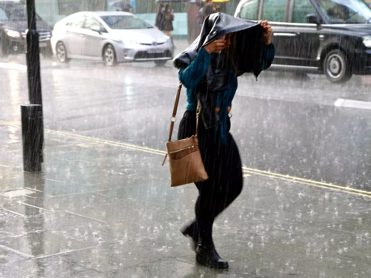
Flooding is feared today as nearly one month’s rainfall will batter parts of the UK in just a few hours. Two yellow weather warnings are in place as downpours are anticipated to sweep eastwards throughout the day. The worst-hit areas – including various spots across Wales – will endure up to 70mm of rain in a short space of time, which will lead to the risk of flooding, travel chaos and a loss of power. Typically, communities in southwest Wales, such as Swansea, see around 75mm to 80mm of rain fall in an average September. Swansea and surrounding areas, including Merthyr Tydfil and Llandeilo near the Bannau Brycheiniog National Park (Brecon Beacons), are subject to one of the weather warnings today. It means the downpours will equate to nearly an average September’s rainfall, and so communities must prepare . And while the other weather warning concerns parts of north Wales, rain will be nearly as heavy across parts of the Midlands today too. The Met Office says, though, travel delays and flooding are most likely across Gwynedd, including most of Eryri National Park (Snowdonia). The same data – issued by meteorologists at Current Results – shows Harlech in Gwynedd typically experiences 80mm of rain across the whole of a standard September. The 60mm peaks across north Wales today – less than parts of the south – also pose a significant risk of flooding and chance communities could be cut off. ” Heavy rain may lead to some travel delays and flooding in a few places during Wednesday. Rain will become persistent and at times heavy across south and southwest Wales during Wednesday morning and is likely to continue for much of the day. 30-40 mm of rain is expected to fall widely with some places, chiefly on south-west facing hills, receiving 50-70 mm,” the weather warning on the Met Office’s website reads. “Flooding of a few homes and businesses is possible. Spray and flooding on roads will probably making journey times longer. Bus and train services [will] probably be affected with journey times taking longer. There is a chance of some interruption to power supplies and other services.” Downpours will be heavy across the Midlands too, particularly Staffordshire and the Birmingham conurbation. Rain will slowly move eastwards and turn showery across the East of England by the afternoon. Although the Midlands has not been issued with a weather warning as yet, Birmingham, for instance, only typically sees around 68mm of rain across a whole September. The deluge will be heaviest there during morning rush hour, it is feared. It comes after persistent showers earlier this week across the Midlands. Flood alerts are already in place, including a warning for the River Greta and River Derwent in Cumbria, alongside which are several campsites near Keswick. There is also concern – albeit to a lesser degree – for the Exmoor Rivers in Devon and the Upper River Tamar, which roughly forms the Devon and Cornwall border. Natural Resources Wales says several flood alerts are in place, including some in the two areas subject to the weather warnings. There is great concern for rivers in the upper Towy catchment upstream of Llandeilo, Carmarthenshire, and rivers in Llanelli and the neighbouring areas of Llangennech, Pwll and Burry Port.