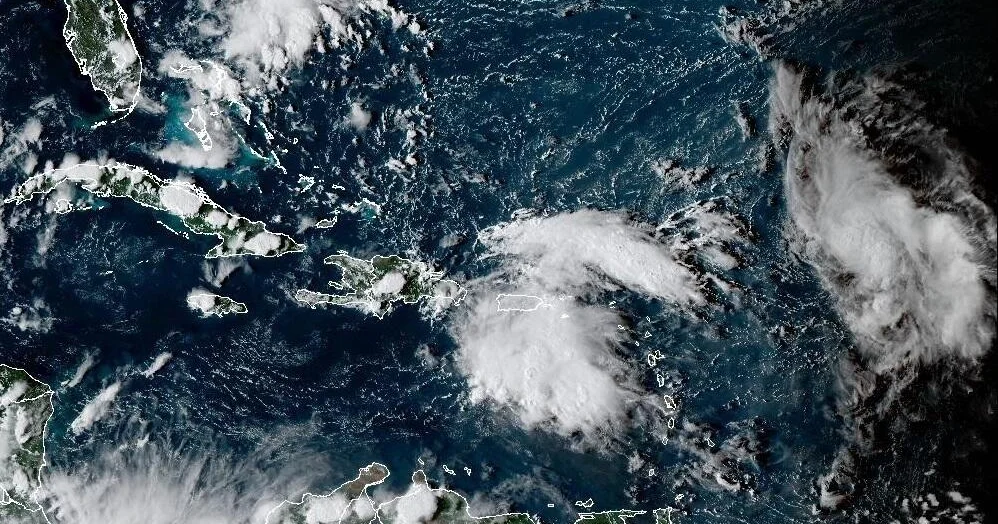
Tropical Storm Humberto formed Wednesday in the central tropical Atlantic, and it is anticipated to move northwestward through the next several days, according to the National Hurricane Center.
The storm is one of two systems swirling over the western Atlantic that could potentially bring some downstream impacts to parts of the Southeast U.S. coast from Florida up to North Carolina, director of the Miami-based hurricane center, Dr. Michael Brennan, said.
Currently, there are no coastal watches or warnings in effect.
Tropical Storm Humberto forecast and path
As of the NHC’s Wednesday afternoon update, Humberto is located about 550 miles northeast of the Leeward Islands. It is moving west-northwest at about 15 mph with maximum sustained winds of 40 mph.
Tropical-storm-force winds extend outward up to 45 miles from the center of Humberto.
“Steady strengthening is forecast during the next several days,” the hurricane center said.
Due to warm sea surface temperatures and mid-level relative humidity, Humberto is “within a favorable environment for strengthening,” the NHC said.


