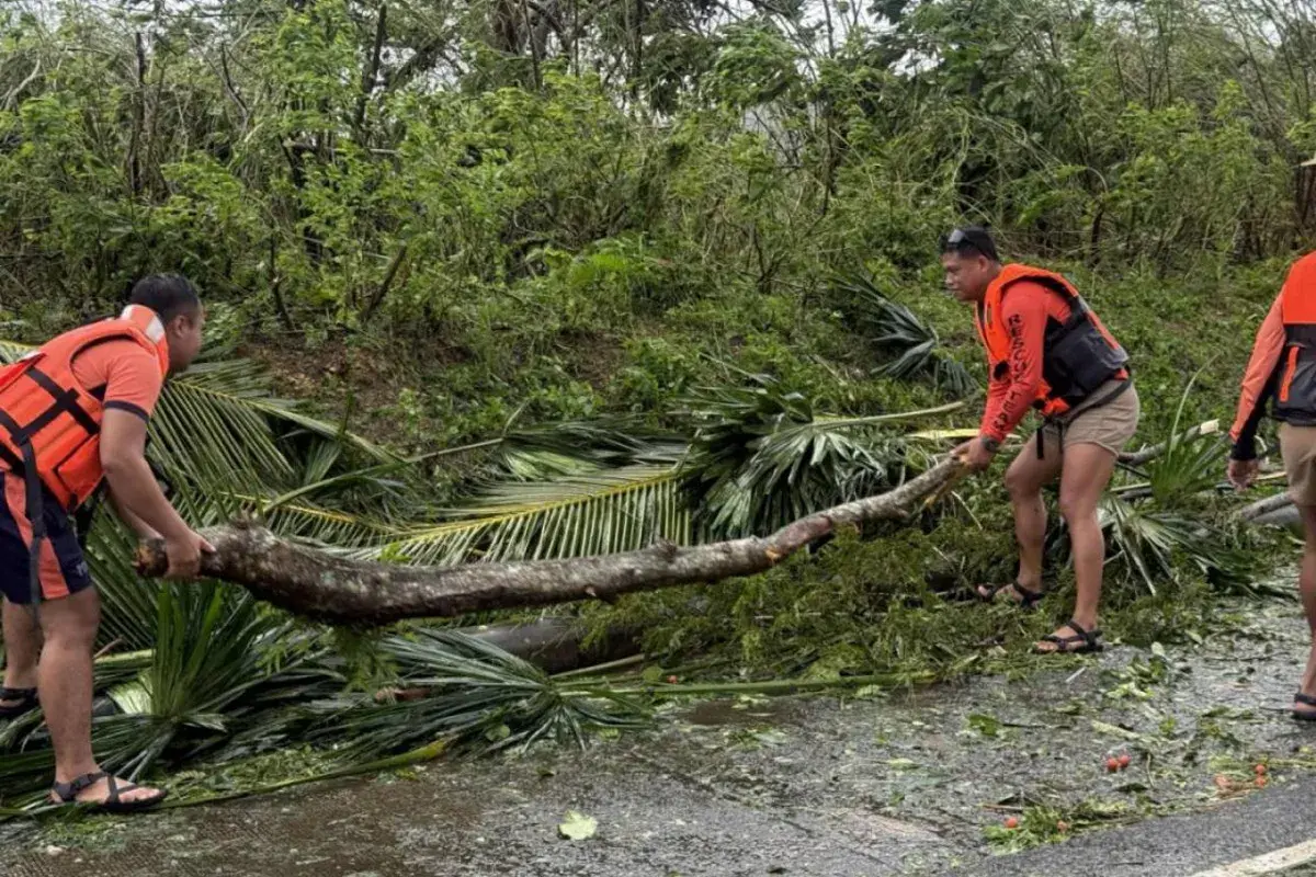
Copyright Newsweek

A super-typhoon is "about to make landfall" in the Philippines, forecasters said on Sunday, after authorities in the multi-island nation braced for their second devastating storm this month. The Context The archipelago country was struck by a typhoon last week that killed more than 220 people before moving on to hit Vietnam, where five people died. Philippine President Ferdinand Marcos Jr. declared a state of emergency on Thursday as the capital Manila contended with the damage from Typhoon Kalmaegi and braced for the arrival of Fung-wong, referred to locally as Uwan. What To Know The super typhoon will make landfall over the Aurora area northeast of Manila late on Sunday or early on Monday, the Philippine Atmospheric, Geophysical and Astronomical Services Administration (PAGASA) said in an update at 5 p.m. local time (7 a.m. ET) on Sunday. The storm will stay close to or maintain its "peak intensity" when it passes close to the island of Polillo and hits land, PAGASA said. The most severe warnings are in place for Aurora, slightly north in Nueva Vizcaya, and to the southeast in Camarines Norte. More than 200 millimeters, almost 8 inches, of rainfall is expected across Luzon, the Philippines' largest and most populated island, on Sunday and Monday, bringing "widespread incidents of severe flooding and landslides," according to the agency. Over 1 million people have been evacuated from high-risk parts of the Philippines' northeast, The Associated Press reported on Sunday. A 64-year-old woman was killed on Sunday as she attempted to evacuate from the central city of Catbalogan, according to the AFP news agency. Unverified footage posted to social media purports to show heavy winds striking the Philippines on Sunday, including battering a bridge in southern Luzon. Other clips show floodwater surging through streets and coastal waves flooding gardens. Storms are categorized as a super-typhoon in the country if they produce sustained winds of upward of 185 kilometers per hour, or 115 miles per hour. The storm will then head for the mountainous area of northern Luzon and come out over the Lingayen Gulf in the northwest early on Monday, forecasts say. The super typhoon will "weaken significantly" over the area, but will still be classified as a typhoon when it passes over the north of the island. "Sea travel is risky for all types or tonnage of vessels," the weather administration said, telling all mariners to remain in port or seek safe harbor as soon as possible. The Philippine coast guard said it had registered close to 7,400 people as stranded across more than 100 ports on Sunday afternoon. From Monday into Tuesday, the typhoon is forecast to continue its path north before turning northeast toward the Taiwan Strait. The storm will lose power, but make landfall over western Taiwan on Thursday. It will "rapidly weaken over the Taiwan landmass before emerging over the waters near Ryukyu Islands as a remnant low or weak tropical depression," according to PAGASA. The Ryukyu Islands are a Japanese island chain northeast of Taiwan. What People Are Saying


