By Aisha Mahmoud
Copyright hoodline
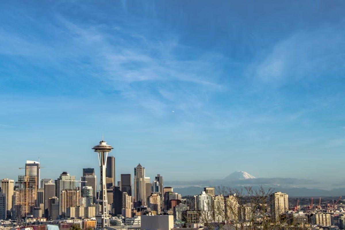
The National Weather Service in Seattle issued a weather update early this morning, noting the current partly cloudy skies and a temperature of 59 degrees Fahrenheit, with forecasts predicting an eventual clearing throughout the day and a high near 74. The wind remains light and variable for now, according to NWS Seattle.
For those planning their weekend outings, the NWS forecasts tonight’s conditions to stay partly cloudy, with a low around 55 and a North northwest wind 3 to 5 mph, leading into a mostly cloudy Sunday, the temperature will hover near 73 degrees with calm winds shifting to a south southwest direction in the morning, but don’t be fooled by the calm; expect the potential onset of rain late Sunday night, specifically after 11 pm, with probabilities surging to a 60% chance of precipitation.
As the new week commences, Seattleites should brace for a series of rainy days starting Monday, carrying a high of 66 degrees and an 80% chance of rain, residents might see new precipitation amounts ranging from a tenth to a quarter of an inch, and the rain isn’t planning a quick exit, with similar conditions persisting well into Tuesday and the midweek forecast as stated by the National Weather Service.
Monday night also promises more rain with a low around 54 while Tuesday could echo the sentiment with a high near 68 and a continual dance of rain clouds above; preparations for wet commutes and outdoor activities should be made, for as Wednesday arrives, the rainy symphony plays on with clouds dominating the sky, by the time Thursday rolls around, we can expect rain likely again, though the evenings might bring some respite, offering only a chance of rain.
For those holding out hope for brighter days, the forecast teases with partly sunny skies by next Friday, and a slightly more forgiving high near 66, yet with a persistent whisper of rain chances, the Seattle umbrella culture remains unfazed and ever-prepared for the showers that define their coastal existence.