For the first time in months, widespread rainfall is drenching the Los Angeles area as a strong band of moisture from a dissipated tropical storm moves north.
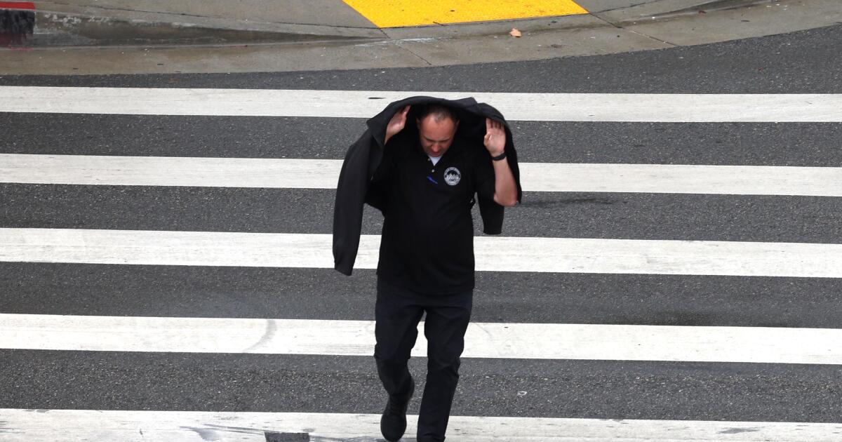
By Thursday morning, much of Southern California had already recorded some measurable rainfall, while a few inland areas were experiencing minor flooding that officials warned could get worse and spread. Much of the region remains under a flood watch through early Friday.
“As the day wears on … we could definitely start getting those heavier showers and thunderstorms developing,” said Rich Thompson, a meteorologist with the National Weather Service in Oxnard. “Some areas will have a lot of rain.”
Storms across Southern California in September are unusual, but not unheard of, Thompson said. Monsoonal storms from the east — usually confined to the mountains and deserts — are more typical this time of year, he said, but every once in a while a tropical storm from the eastern Pacific pushes north, bringing bands of rain.
On Wednesday, remnants of former Tropical Storm Mario started to move into Southern California, boosting humidity and the chance for showers and thunderstorms, some of which forecasters warn can bring heavy downpours, lightning and strong winds.
The most significant rainfall and strongest storms are forecast for Thursday. Most populated areas of Los Angeles, Orange, San Diego and Ventura counties can expect to get up to a quarter- to a half-inch of rain, while some mountain and desert areas could see up to an inch, according to the National Weather Service.
But some areas could get as much as 2 inches of rain locally, depending on the strength and location. Under certain circumstances, officials are warning of storms that could bring dangerous lightning, gusty and erratic winds and heavy rains that could cause localized flooding.
“Rainfall rates capable of causing flash flooding, mud, and debris flows have already occurred earlier this morning, and daytime heating will only serve to destabilize the environment later today,” the National Weather Service posted in its Thursday forecast discussion.
The Santa Monica Mountains and much of the inland Southern California remains under a flood watch through early Friday, with rain rates reaching up to a half-inch per hour in some areas — or possibly higher. The National Weather Service warned that “excessive runoff may result in flooding of rivers, creeks, streams, and other low-lying and flood-prone locations.”
In San Bernardino County, officials issued a more elevated flood advisory Thursday morning, saying that Twentynine Palms and the Yucca and Morongo valleys “will experience flooding,” having already received half an inch of rain with more to come.
Officials were already responding to “minor flooding and accidents due to wet roads on State Route 62,” the advisory said.
Flooding concerns would extend further north into Friday, with parts of the Central Valley, Sierra Nevada and its surrounding foothills also under a flood watch.
While some mountain and desert areas have seen recent precipitation from monsoonal storms, downtown Los Angeles hasn’t had any measurable rainfall since early May, according to the National Weather Service.
But despite the widespread rains Thursday, officials said it likely wouldn’t be enough to pull southwestern California out of “severe drought” conditions, which the region has remained in since March, according to the the U.S. Drought Monitor. It’s also likely not enough to eliminate the threat of another punishing wildfire season — often most dangerous during the upcoming Santa Ana winds season.
“It’s nice to have this rain, every little bit helps,” Thompson said. “But in terms of impacts on fire season … this would have a very marginal effect.”
Fire officials typically don’t consider the threat for fires diminished until at least 2 to 4 inches of rain has fallen, and only a few isolated areas might get 2 inches from this tropical moisture.
But, Thompson said there could still be some benefit.
“It might slow things down a little bit the next week or two,” he said.
Early Thursday morning, downtown Los Angeles, UCLA, Anaheim, Oceanside and Palm Springs had already recorded around a tenth of an inch of rain, according to the National Weather Service.
A few places had seen a bit more: Carlsbad and Chula Vista received almost a quarter-inch; San Diego International Airport and Coronado saw almost a half-inch; Riverside had seen three-tenths of an inch.
These totals will likely increase as the day goes on.
But even when rain isn’t falling, Southern California will feel the effects of the moist air mass over the region. Forecasters noted that atmospheric moisture readings from San Diego almost mirrored those from Key West on Thursday — or about 200% of normal for Southern California.