By Connor Mycroft
Copyright scmp
This story has been made freely available as a public service to our readers. Please consider supporting SCMP’s journalism by subscribing. Hong Kong readers now get 50 per cent off their first year of subscription until September 21, 2025.
Tropical Storm Ragasa is expected to bring hurricane-force winds reaching 210km/h (130mph) to Hong Kong on Wednesday, exceeding the maximum speeds seen when Super Typhoon Hato hit the city in 2017.
Macau authorities on Sunday also urged its residents to stockpile food and other resources ahead of the storm’s expected landfall in the middle of the coming week.
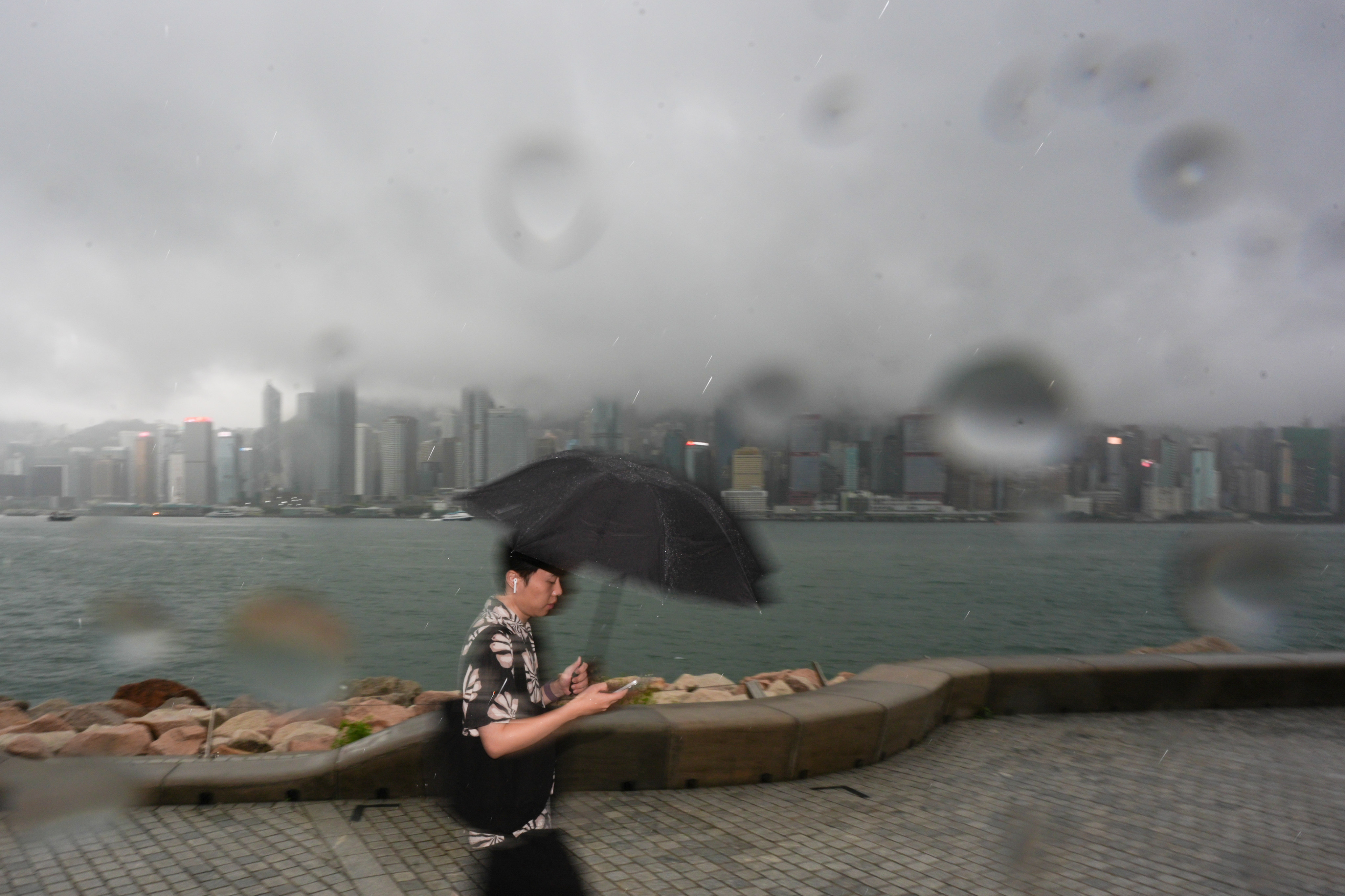
The Hong Kong Observatory’s latest update on the approaching storm, which is expected to intensify into a super typhoon, came as it issued an amber rainstorm warning at 9.10am on Sunday, with the city experiencing the remnants of Tropical Storm Mitag.
The forecaster said that Ragasa – named after a Filipino word meaning rapid or fast motion – would move towards the vicinity of the Luzon Strait and continue to intensify over the next two days before edging closer to the coast of Guangdong on Tuesday.
“The weather will deteriorate later on Tuesday,” it said. “Gale to storm force winds will prevail on Wednesday, and winds may reach hurricane force offshore and on high ground.”
Hurricane-force winds refer to those which maintain a speed of at least 118 km/h. The Observatory will raise its highest No 10 typhoon signal when hurricane-force winds are expected to affect the city.
According to the Observatory’s storm tracker, maximum wind speeds could reach 210km/h at 2am on Wednesday, exceeding the 185km/h recorded when Super Typhoon Hato hit the city in 2017.
Super Typhoon Mangkhut, one of the most devastating storms to hit the city, brought gusts exceeding 250km/h when it made landfall in 2018.
Authorities in Macau on Sunday urged all residents and businesses to make emergency preparations ahead of the storm’s expected landfall in the middle of the coming week, including stocking up on emergency supplies and securing doors and windows.
“Prepare appropriate and necessary emergency supplies in advance, including dry food, drinking water, medicine, first aid kits, flashlights, spare batteries, candles, lighters and power banks, to prepare for possible emergencies,” it said.
Macau’s judiciary police, meanwhile, said in a statement that it had dispatched an evacuation team to conduct inspections and hand out leaflets to residents and businesses in low-lying areas that could be affected by storm surges.
The Hong Kong Observatory earlier said that Ragasa’s accompanying storm surges might raise sea levels over coastal areas to those of Hato in 2017 and Mangkhut in 2018.
The severe storm surge induced by Mangkhut raised the sea level in Hong Kong by more than two metres (6.6 feet), the forecaster said.
Several carriers, including Cathay Pacific Airways, Hong Kong Airlines and Greater Bay Airlines, have offered free rebooking on tickets for flights between Tuesday and Thursday.
For Sunday, the forecaster said that the city would experience rain and thunderstorms under the influence of Mitag, which triggered a No 3 typhoon warning earlier in the week.
Many regions of Hong Kong saw rainfall exceeding 30mm (1.2 inches) in the hour before noon on Sunday, with some registering over 40mm.
Red flags were raised at several beaches across the city, including many along the south of Hong Kong Island, Sai Kung and the outlying islands. A red flag means beachgoers are advised against entering the waters.
Authorities urged residents to report any instances of flooding to the Drainage Services Department.