By Bill Lindeke,Hennepin County
Copyright minnpost
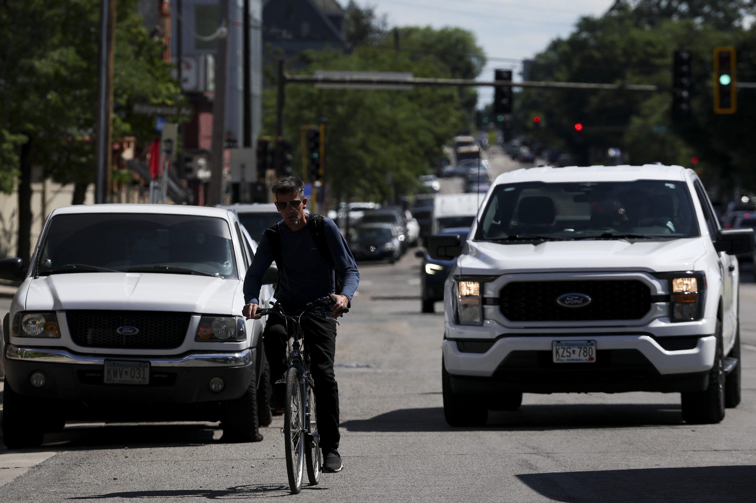
Next year, Hennepin County is fully reconstructing Lyndale Avenue, one of Minneapolis’ main streets. The project has been in the works for years, and by now thousands of people have weighed in. As I’ve written before, street reconstructions are once-in-a-lifetime opportunities to transform city streets and align them with our visions and values.
But something funny happened on the road to Uptown. The county’s Department of Public Works, which has otherwise been doing good work on equitable transportation, took a detour at the end of a lengthy process. Without much warning to city or community partners, engineers released a design that has few of the advantages of the three previous options that went through months of process with community.
The last-ditch proposal offers a compromise that barely accommodates non-motorized users, opting instead for a suburban-style “sidepath” on this main street. It’s a design fated to age poorly in the densest part of south Minneapolis.
A fail with Lyndale design
It must be said that Hennepin County has improved its street designs over time. Twenty years ago, engineers seemed dead set on maintaining dangerous status quo streets, like the overbuilt East Lake Street four-lane reconstruction. But since then, the county has shifted its practices. Reconstruction plans on key streets like Franklin or Lowry avenues are big improvements on their deadly designs. Much credit is due to years of sustained advocacy, strong political leadership, and empowering planners and engineers to make better decisions.
Related: Concerns about Uptown’s changing face are familiar and overwrought
That’s what makes this latest plan on Lyndale Avenue, a top-three Minneapolis street, such a frustrating flop. The proposed design is hard to square with the county’s adopted complete streets policy.
At the recent open house meeting at SpringHouse Ministry Center, the tone was one of quiet anger, pitting otherwise enlightened planners against otherwise peaceful transportation advocates in a passive aggressive contest of hushed tones. Perched carefully on opposite sides of long tables festooned with maps, county staff were in position to defend a design that, from my view, nobody seemed to like (staff included). Advocates seemed befuddled as to what was going on, but the atmosphere was dour.
“The Livable Lyndale movement is continually growing,” explained Julie Johnson, the lead organizer at Move Minnesota, one of the advocacy groups that’s made improving Lyndale Avenue into a years-long quest. She cited 2,400 signatures and 1,400 postcards in support of bike and bus lanes on the street.
“In this final design, we wanted more aspects of the Orange Option design featuring a separate bikeway, transit lanes and other additional improvements, because we fully oppose this proposed final design for Lyndale Avenue,” Johnson explained, after a long discussion with a county planner. “It does not support the needs or wants of our community in a number of ways, and isn’t what the community has been asking for for years. And so we not only want to understand how this happened, but we need to see major improvements in this in order to find it acceptable.”
The final plan, which appeared seemingly out of the blue, offers the bare minimum for bike and scooter accessibility while, at least for now, not devoting any dedicated space for transit. For most of the street, there are two through lanes for cars; wide, 10-foot parking lanes that occasionally disappear to create bump-out crosswalks; and on the west side of the street, a shared-use path that is about 10- to 12-feet wide.
(Strangely, there are not fixed measurements in the final design plans from Hennepin County.)
Reaching out to a county spokesperson, I received an email full of platitudes.
“The plan is based on priorities we heard from the community, including safety, greening, business support and transit access. After identifying priorities, we shared ideas about concepts. Then, we created a plan that combined the community-driven priorities and community-gathered concept feedback… We appreciate everyone’s involvement in this project. We’re encouraged by the strong interest and look forward to continuing to work with community through our ongoing conversations.”
(County spokespeople did not make themselves available for a more detailed conversation.)
The wrong plan for cyclists, scooters
I predict that for anyone on the sidewalks of Lyndale, the semi-final design is going to turn out poorly. Shared-use paths are bike infrastructure designs you often find in suburbs like Woodbury or Medina, where non-motorized traffic is often sparse enough that mixing everything into one single stream rarely creates conflict.
On South Lyndale Avenue, that’s a mistake. This street forms the heart of the dense and growing south Minneapolis hipster belt, a direct line between the Wedge Co-op, the famous CC Club bar and the peerless Uptown VFW. There are few places outside of a college campus or the warehouse district with more pedestrians, bikes and scooters per square mile, and all of that future traffic will be crammed and jumbled into a narrow margin on Lyndale. Picture a Lime scooter carrying two people heading toward an oncoming e-bike, with a dog walker trapped between them, and you get the picture.
Second, the shared-use path ceases to exist at 29th Street, right when it’s most needed. This is a frequent bike planning mistake, when demands for space increase at intersections due to calls for parking, more parking, turn lanes, wider sidewalks, drop-off zones, parklets, and more. Yet it’s precisely these congested intersections, where drivers are turning quickly or speeding through yellow lights, that are the most dangerous and in need of bike infrastructure.
Too often in the U.S., safe designs at big intersections end up on the cutting room floor, and that’s exactly what happened here. The result makes the rest of the Lyndale Avenue side path something of a symbolic gesture. If it’s not going to bring people all the way to or from Lake Street, what even is the point?
What went wrong?
All of this matters because Lyndale Avenue is ground zero for south Minneapolis transportation advocacy thanks to a few high profile fatal crashes. Over the last decade, it’s been home to more protest and pressure than any other Minneapolis street. That’s why Hennepin County instituted a road diet in 2022, and during this reconstruction process it seemed like there was political momentum to keep improving safety.
So what’s really going on? Without concrete answers from Hennepin County planners, I can only guess, and I suspect the answer has something to do with transit. While officially Metro Transit has not yet chosen Lyndale Avenue as a corridor, and an agency spokesperson told me they they are not influencing the plan, it seems fated that this will be a key route for arterial bus rapid transit (aBRT).
Related: As it turns 25 years old, let’s celebrate the Midtown Greenway
The seemingly 10-foot parking lanes give away the game, because on its face, that’s an absurd width. The official Minneapolis Street Design Guide recommends seven-foot parking lanes, with a nine-foot maximum for use in “some industrial areas.” To recommend 10-foot parking lanes through the heart of south Minneapolis’s densest neighborhood is a befuddling decision.
Lyndale Avenue currently hosts the high-ridership 4 bus, so it makes sense that transit planners will soon select it for an aBRT route with (hopefully) dedicated transit lanes. In that case, the proposed parking lanes could become transit routes, though the spots where they disappear seem destined to be congestion choke points.
Full explanation needed
As one county engineer once told me, reconstructed streets like Lyndale Avenue likely won’t be rebuilt for 100 years. I can’t even begin to imagine what the traffic pattern will look in a generation, but I can all but guarantee that there will be a lot more e-bikes and scooters involved, a wider variety of battery-powered vehicles.
Given the hushed release of the design, I doubt Hennepin County decision-makers will change their minds on this unless they are somehow forced to by advocates like Julie Johnson or other political actors. But the county owes the public a better explanation for why planners abandoned the three previous “options” for the one that’s now on the table.
“We need to be thinking about the future,” said DFL State Rep. Katie Jones, who represents an adjacent district and also attended the meeting. “We need to be thinking about not only the community we have today, but the community that we want to have in the future. People want a climate friendly city, they want to be able to get around with their kids and we need a design that reflects them.”
When I asked Jones if the design was likely to get approved as is, she cautiously replied.
“We’re working on things.”