By Cognitive Neuroscience,Maria Ahmad,PhD Candidate,Psychology and Language Sciences,UCL
Copyright theconversation
One of the biggest navigation challenges is knowing where you are in the open ocean without tools or devices. This remarkable skill is exemplified by the ancient techniques once used by expert navigators of the Marshall Islands, a chain of
low-lying coral islands and atolls situated between Hawaii and the Philippines.
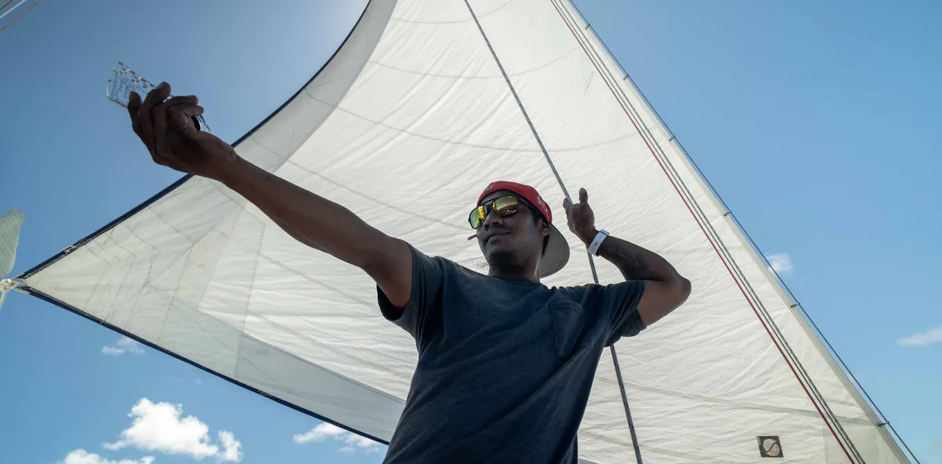
Together with a cognitive neuroscientist, philosopher, Marshallese anthropologist and two Indigenous sailors, I was part of a sailing expedition that aimed to explore how Marshallese sailors use their environment to find their way at sea. Aboard Stravaig, a 42ft (12m) trimaran (a boat with three hulls), the winds and waves carried us 60 miles from Majuro atoll to Aur atoll.
In the six years I lived in the Marshall Islands, I had never travelled past Eneko, a small islet within the lagoon of Majuro. I was always drawn to the reef where the lagoon meets the ocean, watching the white surf appear as the waves broke against the barrier that protected the atoll.
It was the knowledge of those waves that the ri meto (the person of the sea, a title given to a navigator by the chief), would dedicate their lives to mastering. By sensing subtle changes in ocean swells, the ri meto could detect the direction and distance to islands that lay thousands of miles beyond the horizon.
With this ancient knowledge, the ri meto mastered one of the most extraordinary skills known to humans: navigating the Pacific. But the devastating history of the Marshall Islands has extinguished the practice and currently, there is no officially appointed ri meto.
Alson Kelen is the apprentice of the last-known ri meto. His parents were displaced from the northern Bikini atoll during the US lead nuclear programme that detonated 67 atomic and thermonuclear bombs in the Marshall Islands during the 1940s and 50s.
Beyond the catastrophic destruction and suffering, it disrupted the inter-generational transfer of traditional knowledge, including navigation. As part of revival efforts by professor of anthropology Joseph Genz, Kelen captained the jitdaam kapeel, a traditional Marshallese canoe, from Majuro to Aur in 2015, relying solely on the traditional navigational skills he had learned as an apprentice.
Inspired by this, I was curious about the role that neuroscience played in understanding wayfinding at sea. Research in spatial navigation has revealed how the brain’s neural and cognitive processes help us find our way. Most of this research focuses on land-based navigation, either in lab settings or controlled environments using video games or virtual reality headsets. But the cognitive demands at sea are considerably greater with constantly changing factors, such as swells, winds, clouds and stars.
Neuroscience of navigation
As the director of Waan Aelon in Majel, a local canoe building and sailing school, Kelen chose two highly skilled traditional sailors to join us on our research expedition.
As we approached the channel, the steady waves of the lagoon gave way to the heavier ocean swells hitting the hull. The crew tightened the ropes and the sails were hoisted. All of a sudden, I felt the dominant eastern swell lift the boat. We had left the calm of the lagoon and were bound for Aur Atoll.
For the next two days, Stravaig was our lab on the ocean. For more than 40 hours we were collecting cognitive and physiological data from nine crew members, along with constant environmental data from our ever-changing surroundings.
We asked everyone to keep track of their estimated location throughout the voyage. Only two crew members (the captain and first mate) had access to GPS at intervals; others relied solely on the environment and memory. At hourly intervals, each crew member would mark their estimated position on a map, along with their predictions of how much time and distance remained till the first signs of land and eventually landfall itself. They also noted any environmental stimuli, such as the waves, winds or the position of the sun they were using.
The crew also rated four key emotions throughout the journey: happiness, tiredness, worry and seasickness. Each crew member wore an Empatica smartwatch, which recorded changes in their heart rate.
An accelerometer was mounted onto the top deck to record the movement of the boat as the wave patterns changed. A separate mounted 360° GoPro camera captured changes in the sails, clouds, sun, moon and movement of crew on deck.
Just before the last piece of land dipped under the horizon, each crew member pointed to five atolls: Jabwot, Ebeye, Erikub, Aur Tabal, Arno and Majuro. A covered compass was used to record the bearings. This was repeated across the journey to test orientation skills without reference to land.
By the end of this voyage, we had a rich collection of data that mixes subjective experiences with objective measurements of the environment. Every estimation plotted on a map, every emotion, every changing heart rate was recorded in conjunction with changes in wave patterns, the wind, the sky and the GPS beneath it all. This new data forms the foundation for a model that could begin to explain the cognitive process of wayfinding at sea, whilst also offering a glimpse into this ancient human ability, one that the ri meto mastered long ago.
Don’t have time to read about climate change as much as you’d like?
Get a weekly roundup in your inbox instead. Every Wednesday, The Conversation’s environment editor writes Imagine, a short email that goes a little deeper into just one climate issue. Join the 45,000+ readers who’ve subscribed so far.