Copyright irishmirror
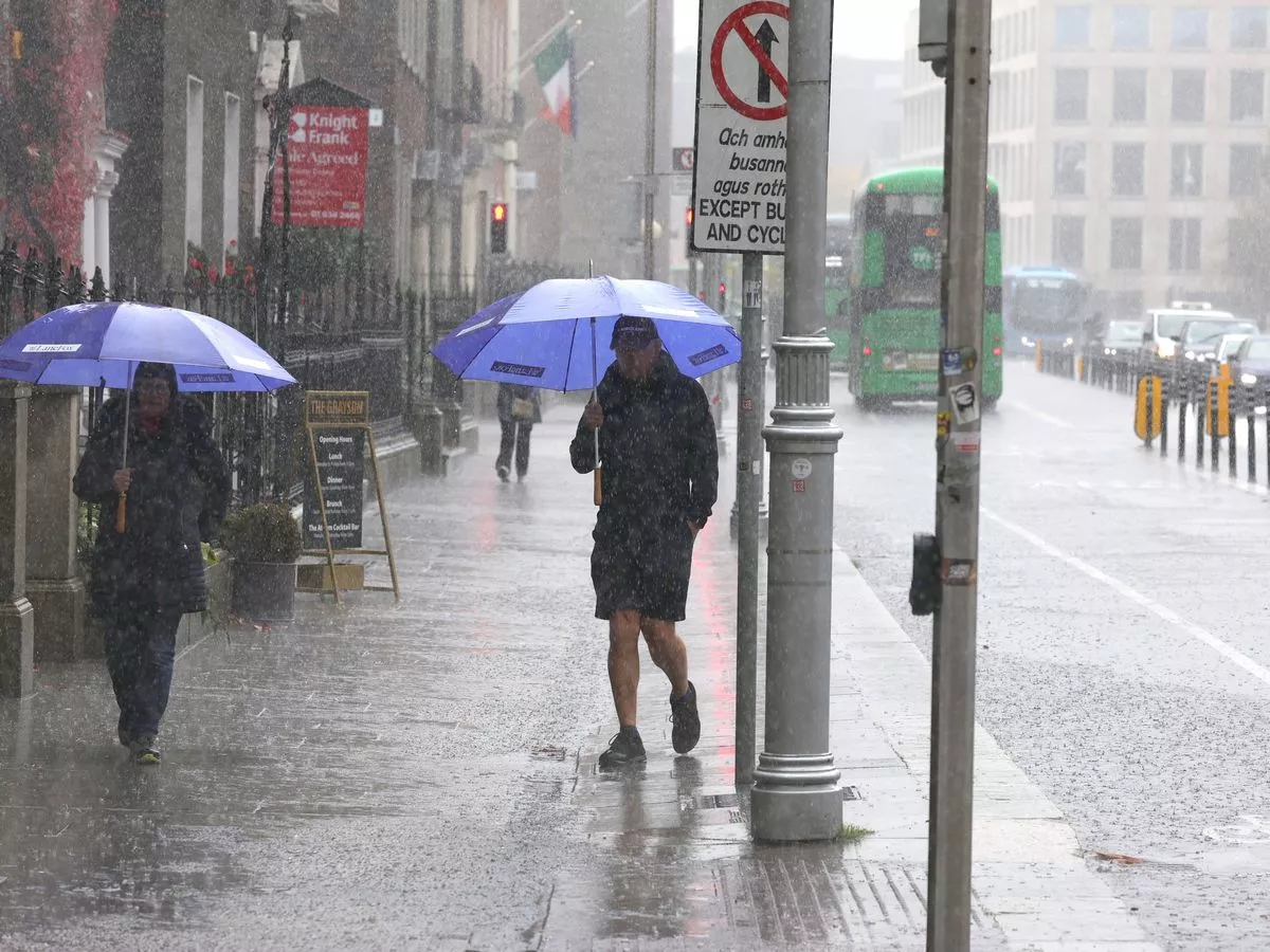
Ireland is in store for a washout week, with outbreaks of rain forecast across the next coming days - but temperatures will remain mild with no frost appearing just yet. The week is off to a dull and blustery start with heavy rain hitting the western half of the country, before outbreaks of rain continue in Munster and south Leinster tonight, turning heavy in places. Overall, Met Éireann forecasters have said the coming days will be unsettled with frequent spells of wet and blustery weather, but temperatures are expected to stay relatively mild and frost free. On Tuesday morning and afternoon, outbreaks of rain will spread northwards across the country, while Wednesday is set to be a wet day with widespread rain, heavy in some western areas. Thursday will see a drier and brighter start with sunny spells and just a few lingering patches of drizzle, before a spell of rain moves in, and further outbreaks of rain are likely on Friday. Meanwhile, a Status Yellow Rain warning for Clare, Kerry, Galway, and Mayo will also remain in place until 8pm. Met Éireann warned of persistent rain, turning heavy at times, with localised flooding, difficult travel conditions and poor visibility all possible. Here is Met Éireann’s weather forecast for the week ahead: Today will be dull and blustery with outbreaks of rain, heaviest across the western half of the country with ongoing potential for localised flooding. Quite mild with highest temperatures of 13C to 16C in fresh to strong southwest winds. Tonight, outbreaks of rain will continue in Munster and south Leinster, heavy in places with fresh southerly winds. Elsewhere will be drier with clear spells and isolated showers in light to moderate southerly winds. Lowest temperatures of 10C to 14C. On Tuesday morning and afternoon, outbreaks of rain will spread northwards across the country. The rain will clear northeastwards to scattered showers in the evening. Highest temperatures of 13C to 16C are forecast in moderate to fresh southerly winds, easing later. Clear spells and showers at first on Tuesday night. It will turn cloudier overnight with scattered outbreaks of rain and drizzle spreading from the south. Lowest temperatures of 8C to 12C, a little milder in the southeast, in light to moderate southeast winds. A wet day with widespread rain, heavy in some western areas. The rain will ease towards evening. Becoming breezier with southwest winds increasing moderate to fresh. Highest temperatures of 13C to 16C. Remaining largely cloudy overnight with scattered patches of light rain and drizzle. Lowest temperatures of 9C to 13C in moderate to fresh southerly winds. A drier and brighter start to Thursday with sunny spells and just a few lingering patches of drizzle. Turning cloudier through the day with a spell of rain spreading from the Atlantic. Blustery in fresh south to southeast winds with highest temperatures of 11C to 14C. Further outbreaks of rain are likely on Friday. Highest temperatures of 11C to 15C in moderate to fresh southerly winds. There is uncertainty in the details of the forecast but current indications suggest that it will remain unsettled next weekend with Atlantic low pressure systems bringing further spells of rain. Subscribe to our newsletter for the latest news from the Irish Mirror direct to your inbox: Sign up here .