Copyright scmp

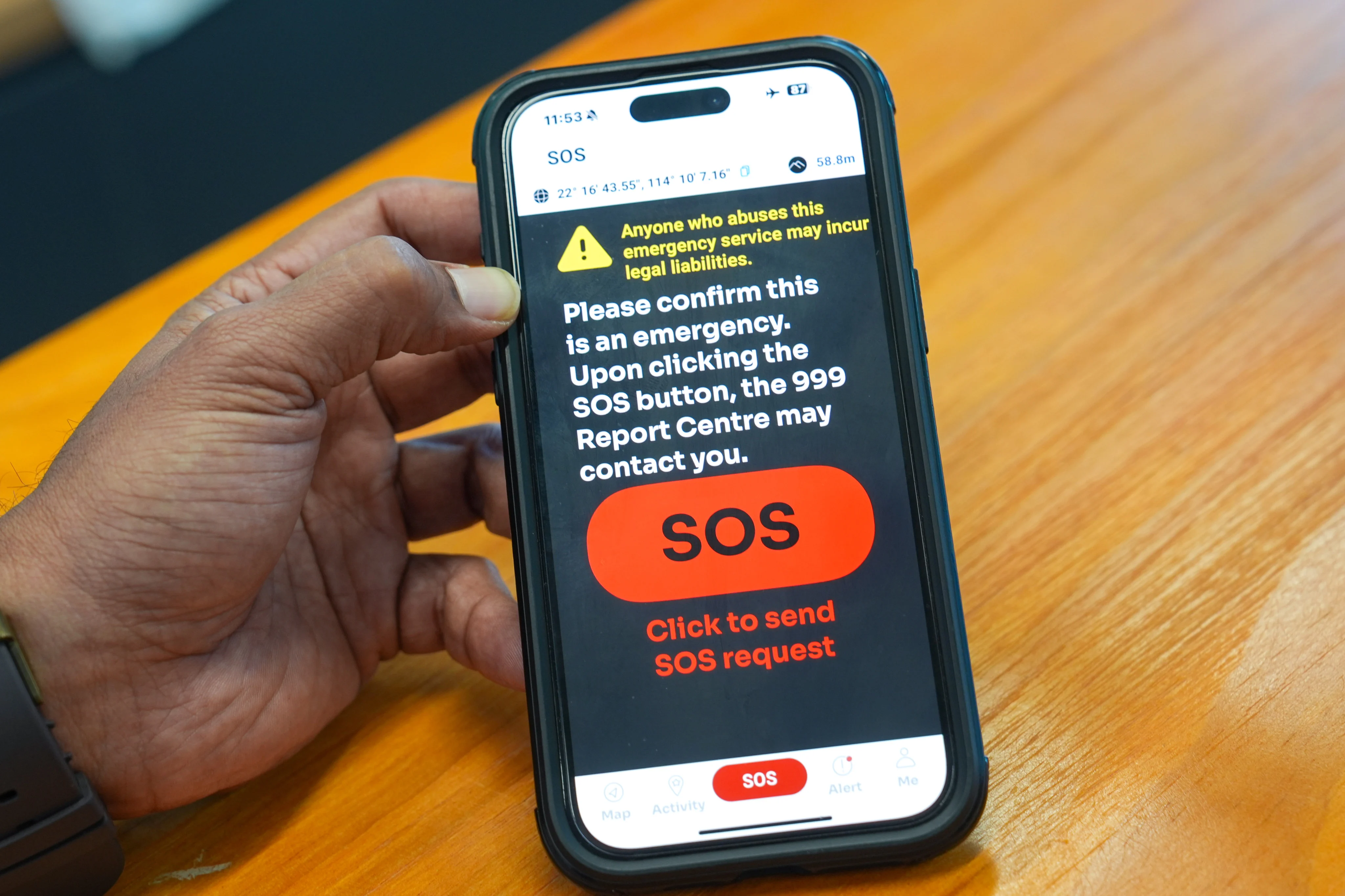
A Hong Kong police mobile app that has helped in the rescue of 272 people since its launch last year will soon be upgraded to include live location sharing for groups while the number of emergency contacts will also be increased to enhance users’ safety. Senior Superintendent Swalikh Mohammed of the digital policing services bureau told the Post in an exclusive interview that the force would roll out an upgrade for its “HKSOS” app in December. The app has been downloaded 150,000 times since its introduction in January 2024. “All our searches have been successful. There have been no prolonged rescues under [the use of] ‘HKSOS’,” Mohammed said. The current version of the app allows users to alert police if they encounter danger during outdoor activities such as hiking, paragliding and canoeing. But a new tracking function of the app’s patented “Signal Radar” technology will allow rescue personnel to accurately detect the location of a person in distress, even if their device has no signal. Rescuers can carry the radar to detect a distressed individual’s location on helicopter flights or fly a drone that has it on searches. In the new version, users can form a group with up to nine others and monitor one another’s locations throughout their journey. Mohammed noted that this would be helpful for school trips, scouts or orienteering activities and other group events. “In the past, some schools would write to the police to say they were bringing 10 students up a hiking route on a designated date, notifying us just in case,” he said. “‘HKSOS’ can fulfil this role now. That is why we established a ‘team’ function.” Mohammed said that users could add others into their team by sharing a QR code for scanning, and thereafter be able to view each member’s live location. He said this function would allow team leaders to detect any members who were lagging behind or enable rescues to happen sooner if anyone went missing. Another functional upgrade is a feature that allows users to add five emergency contacts, up from three in the current version. Contacts will be able to view the user’s live location and alert police if they suspect the person is in trouble or needs to be rescued. Users can also choose to share their live location with their emergency contacts for 15 minutes, one hour, eight hours or a custom time frame. Those contacts, who will be able to view the expected duration entered into the app and the time elapsed from the start of the journey, can also send in-app notifications to the user to ask about their safety. “You don’t have to make a phone call, you can ask [the user] any time whether they are safe,” Mohammed said of the messaging feature. When the two functional upgrades are launched, the “HKSOS” app will also become available for download on Huawei phones. The app is currently only available on Android and Apple devices. Since its launch in January 2024, “HKSOS” has been used to trigger 113 rescues for 272 people. All the rescues were completed within three hours, with an average time of around two hours. The app has also been used to safeguard 66,000 journeys since its launch. The platform uses an artificial intelligence programme called “RescueAI” to identify high-risk cases among journeys monitored by the app, sending suggestions to the 999 hotline report room for follow-up action. The AI detects risk factors such as journeys running overtime and declining pace throughout the journey to determine if a user needs help. “There have been [false positives]. We’ve had cases in which people stopped to camp [but did not turn off the app]. We are learning from experience,” Mohammed said. Besides being used by hikers and outdoor enthusiasts, the app has also been deployed in the TransLantau trail race, the local leg of the international UTMB World Series, as a mandatory tracking tool since last year. “With racers using this app, if accidents happen, organisers will have a direct channel to reach us, so a search can take place earlier,” Mohammed said. Looking ahead, the development team of “HKSOS” has been looking into further expanding the app’s functions to cover satellite messaging. This form of messaging will allow users to send texts outside cellular and Wi-fi networks by connecting to a satellite network. Mohammed and his team tried out the technology on the Annapurna mountain in Nepal last month, successfully connecting the “HKSOS” app to China’s home-grown BeiDou satellite navigation system. But his team was still looking into how the technology could be integrated into the app’s services and how the force could collaborate with other departments to deal with distress signals sent from within the city’s borders and beyond. “It’s quite practical. If [a user] has travelled somewhere without any signal, such as voyaging out into the sea, and something happened, can I report a case?” he said.


