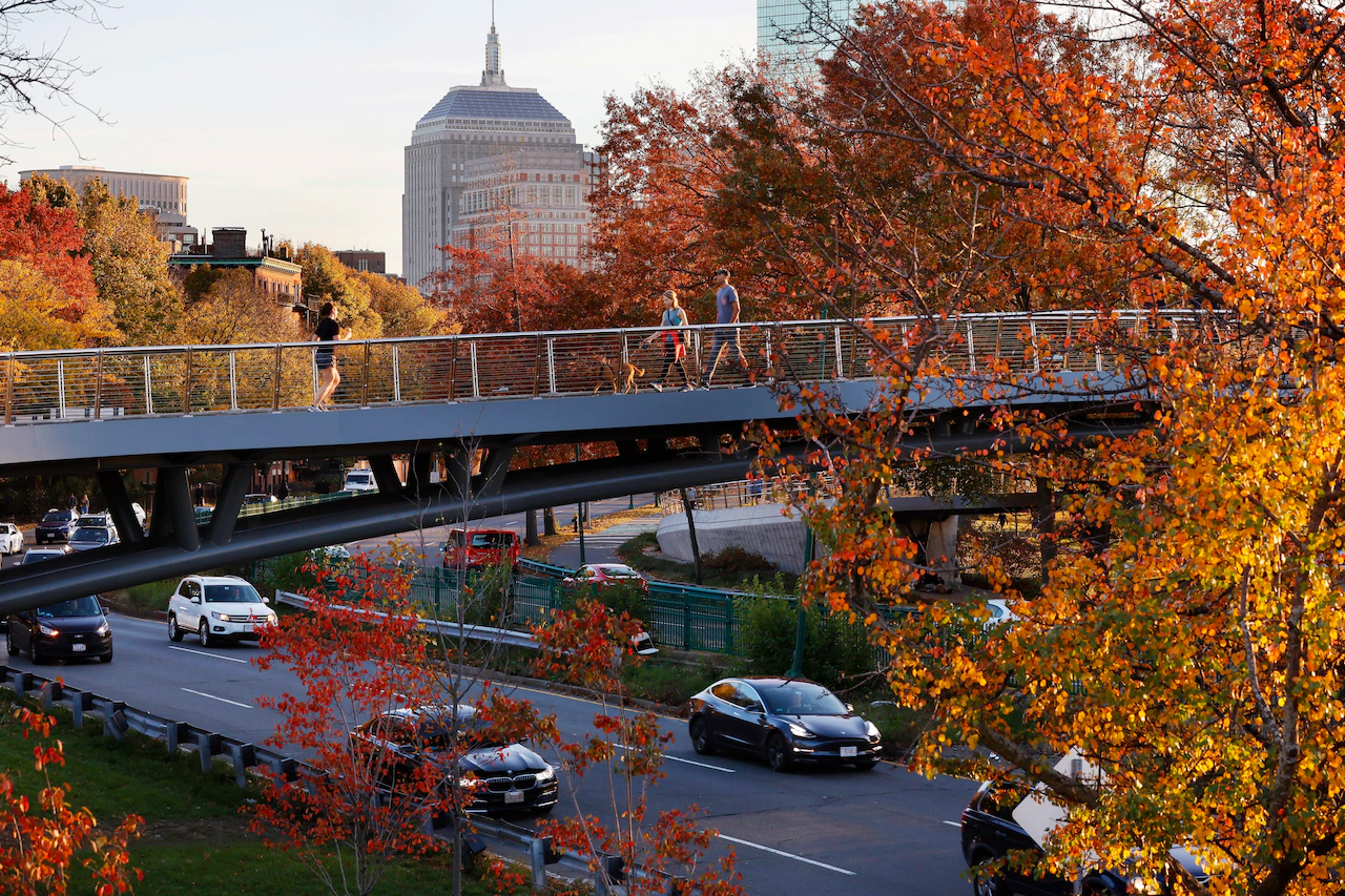
From the Berkshires to the Cape and all points in between, there are plenty of places in Massachusetts to get a gander at fall foliage in Massachusetts.
But just in case you’re stuck on where and when to go, the state Department of Conservation and Recreation has you covered.
The agency has just rolled out the updated version of its interactive fall foliage map, so you can see which parts of the state are approaching peak bloom, are in it, or where it’s passed.
“Fall is one of the most beautiful times of the year in New England and people come from all over the world to see the changing leaves at our beautiful state parks,” DCR Commissioner Nicole LaChapelle said in a statement.
Using the map couldn’t be simpler: Pick a date to see which parts of the state, including specific DCR properties, will experience peak fall colors during your chosen travel time.
The agency’s forestry staff analyzed current and past data to predict approximately when the leaves in each area of the state will change color throughout the season and when they’ll reach their peak.
This year, most areas of the state will reach their autumnal peak of color during mid-October, with some parts of Western Massachusetts peaking earlier than that, officials said.
The map also displays photographs taken by the agency’s staff so you can get some idea of what you’ll see when you travel.
The agency’s Fall Foliage webpage also highlights 17 recommended foliage viewing spots in the state’s park system, along with hiking trails, picnic areas, and scenic overlooks at those locations.
“This year’s interactive fall foliage map shows when peak changes will occur, so whether you’re planning a day trip or a weekend getaway to one of our parks, you can make the most of the vibrant colors of the fall season,” LaChapelle said.