Copyright M Live Michigan
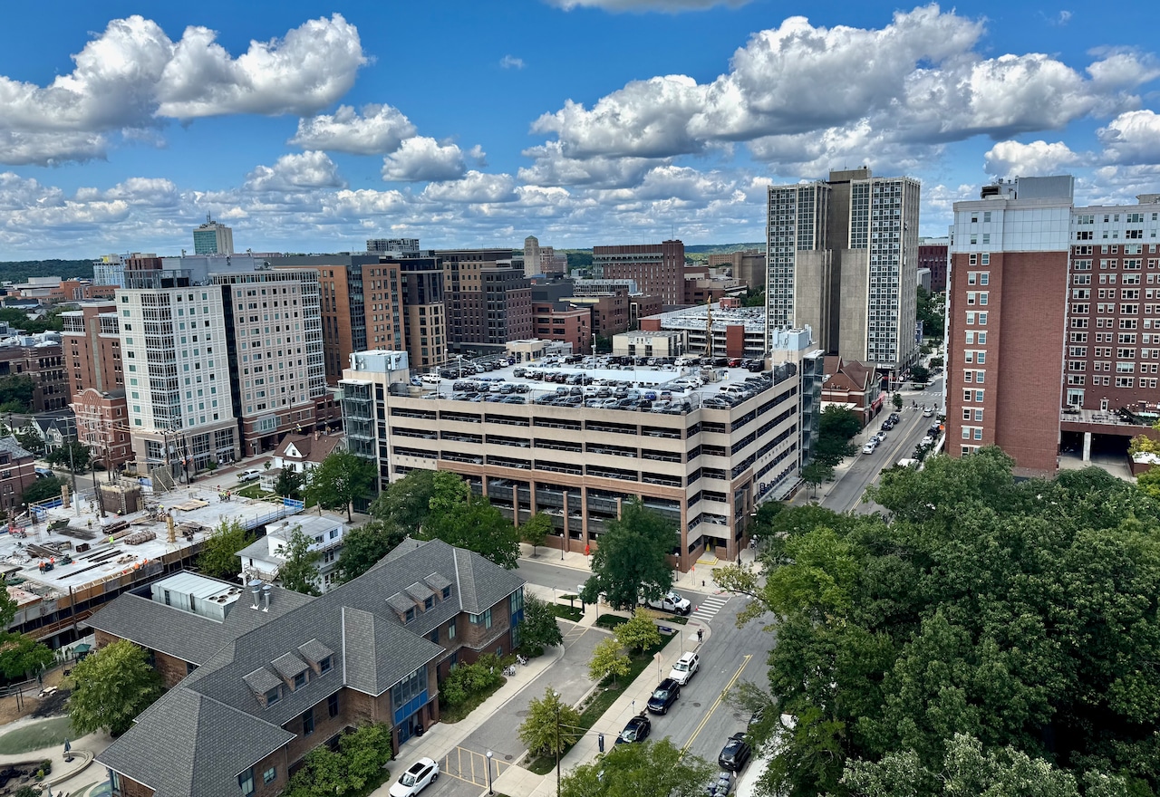
ANN ARBOR, MI — Ann Arbor has launched a new online portal, making dozens of maps, graphs, charts and other data tools available to the public in one central location. Everything from rainfall measurements at city rain gauges to dashboards tracking progress on city goals now can be found in the Ann Arbor Open Data Portal. “We hope assembling the city’s many data resources into a single, user-friendly open data portal will help inform the public and foster engagement,” Information Technology Director Joshua Baron said in a statement. Here are 10 things to explore in the new portal, which consolidates data from various city departments. A2Zero goals Want to track progress on the city’s A2Zero carbon-neutrality goals and see where community greenhouse gas emissions stand? There’s a dashboard for that. Building projects Want to track what land rezoning and building construction projects are in the works? Check out this map. Public art Want to see the public art Ann Arbor has to offer? There’s a virtual tour with info on dozens of artworks around the city. Street conditions and projects Want to see pavement condition ratings for streets and track street and utility projects? There’s a dashboard for that. Traffic crashes and traffic calming Want to see data on traffic crashes? There’s a dashboard and a crash map. The city also has a map for traffic calming. Or just want data on crosswalks? Try this map. Crime statistics Want to see crime stats for Ann Arbor and analyze incidents by location or type? Check out the Ann Arbor Police Department’s dashboard. Water quality Want to monitor Ann Arbor’s water quality and see where PFAS chemical levels are at in the Huron River and in the city’s treated drinking water? There’s a drinking water quality dashboard and a separate PFAS dashboard. There’s also a dioxane monitoring page. Affordable housing Want to learn about some of the city’s affordable housing options? There’s a map with info about each of the Housing Commission’s apartment properties. Trees Want to learn more about Tree Town’s trees? There’s an interactive map with information such as size and species for all the trees planted along city streets. Snow days Want to track the city’s snowplows in real-time when there’s a snow storm? There’s a map for that, as well as a map showing where on-street parking will be banned when there’s a snow emergency declared. Find more at data.a2gov.org. Want more Ann Arbor-area news? Bookmark the local Ann Arbor news page.