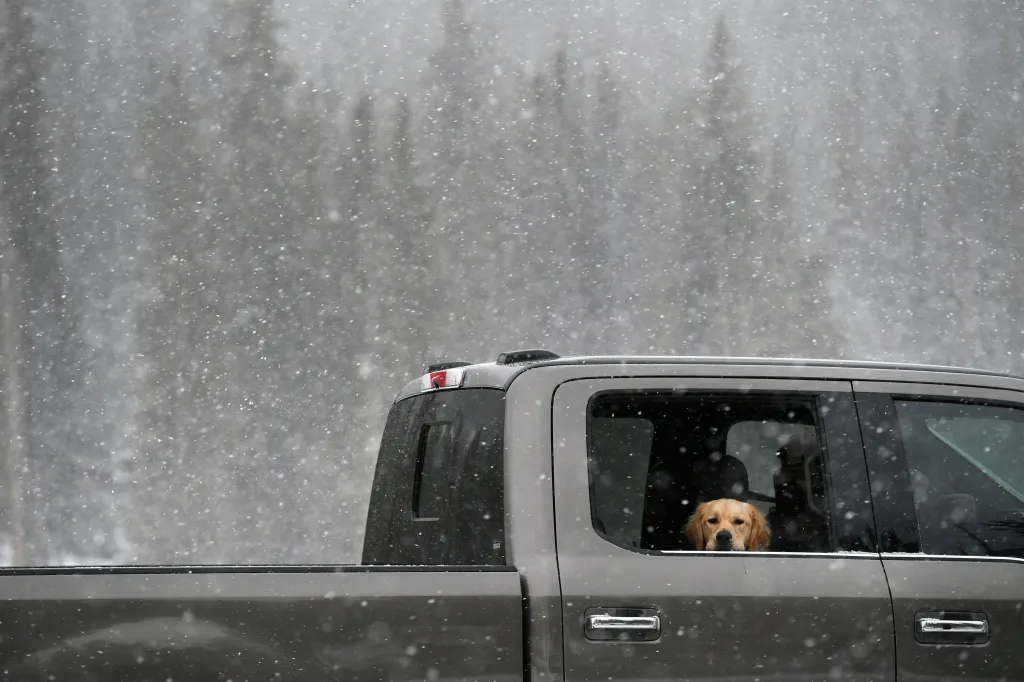
Multiple inches of snow are expected in Colorado’s high-elevation mountains early this week, according to the National Weather Service.
The most impactful winter weather will hit elevations above 10,500 feet, but snow will be possible as low as 9,000 feet, according to the weather service’s Boulder office.
Snow and ice will create hazardous conditions between late Monday and early Wednesday, forecasters said. The winter weather has the best chance of reaching lower elevations, near 9,000 feet, early Tuesday morning.
“This could impact travel across higher mountain passes and bring hazardous conditions to alpine backcountry areas,” weather service forecasters wrote on social media.
Berthoud Pass at 11,306 feet, on the edge of Clear Creek and Grand counties; Milner Pass at 10,759 feet, on the border of Grand and Larimer counties; and Cameron Pass at 10,276 feet, between Jackson and Larimer counties, could see up to 5 inches of snow by 6 a.m. Wednesday, according to snow forecasts from the National Weather Service.
Between a dusting to 3 inches of snow is possible on other mountain passes, forecasters said.
Parts of Rocky Mountain National Park could see up to 2 inches of snow, and up to 4 inches will accumulate at the Eisenhower-Johnson Memorial Tunnel on Interstate 70, forecasters said. No snow is expected in the Denver area.
On average, Denver sees its first measurable snowfall in mid-October, according to weather service records. The city has seen its first snowfall as early as Sept. 3 and as late as Dec. 10.
Many Colorado ski resorts had below-average snowfall last winter. Is a repeat in the offing?