A dense fog advisory covers most of central Pennsylvania Wednesday morning, followed by periods of much-needed rainfall expected through Thursday.
Drivers should anticipate reduced visibility and potential travel disruptions during the early morning hours.
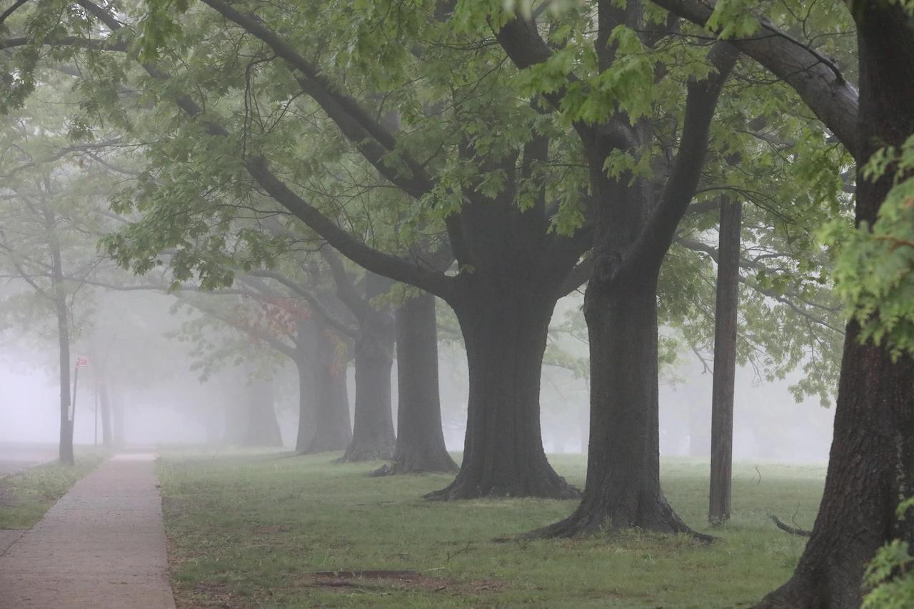
The National Weather Service has issued a dense fog advisory until 10 a.m. for multiple counties, including Dauphin, Cumberland, Perry, York and Lancaster, with visibility dropping to less than a quarter-mile in some areas. Roadways and airports will experience challenging conditions, with fog and low clouds leading to potential hazards for morning commuters.
Rainfall is anticipated to spread from the western to eastern part of the state throughout the morning and afternoon. The precipitation is expected to be moderate, with some areas receiving between a quarter to half an inch of rain.
Thunderstorms are possible, particularly in the afternoon and evening.
The weather system will continue through Thursday. The eastern portions of the region, especially near the Lower Susquehanna, may experience stronger storms Thursday afternoon and evening.
Looking ahead to the weekend, forecasters indicate a 20% chance of precipitation, with uncertainty about Atlantic moisture influencing the weather pattern.
By early next week, a drier and warmer pattern is expected to return, with temperatures possibly climbing above seasonal averages.
Current weather radar
Weather reports
Muggy fall kickoff brings needed rain to central Pa.
Thunderstorms on the way this week: How much rain to expect, and why we need it
Hurricane Gabrielle grows to Category 4 storm
Showers, thunderstorms with hail expected in central Pa. today