Copyright mbl
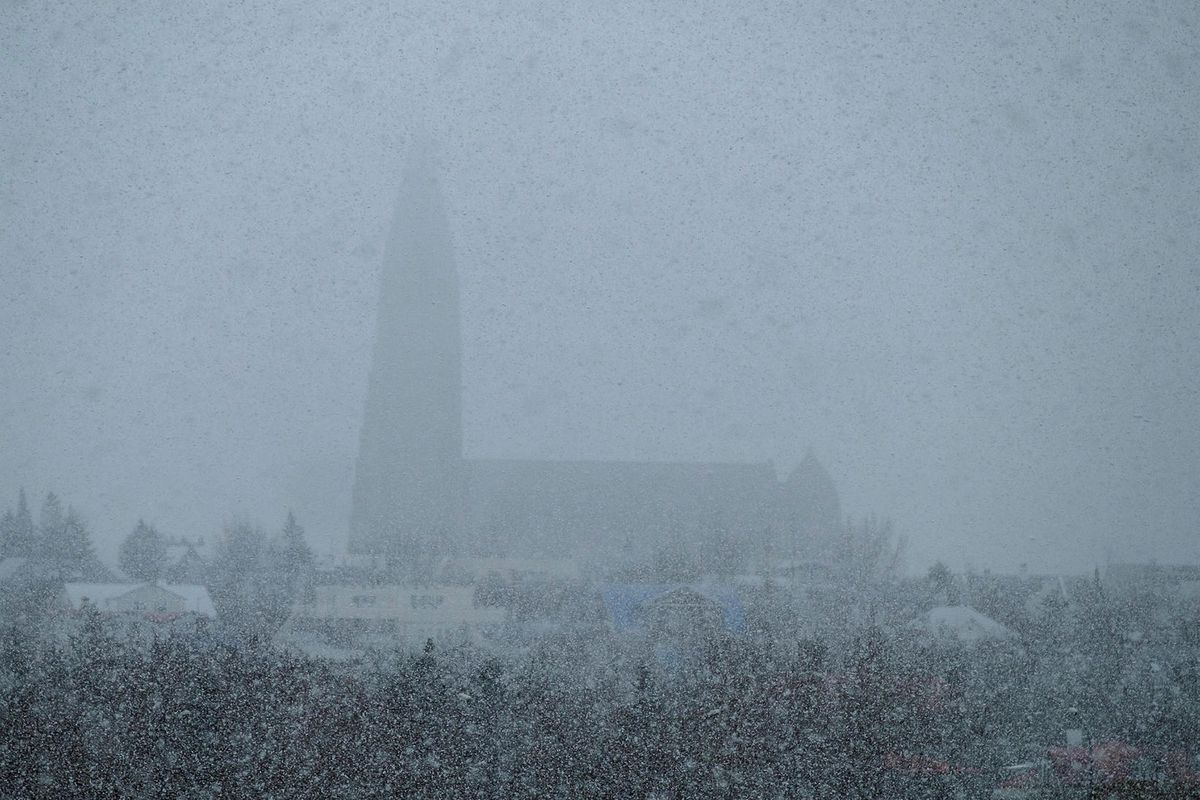
A blizzard system southwest of Iceland is rapidly moving toward the country. Forecasts indicate 24-hour snowfall of 20 to 30 centimeters, though there remains considerable uncertainty about the exact timing of the storm’s arrival. Hera Guðlaugsdóttir, meteorologist at the Icelandic Meteorological Office, says that the snowfall could end up being heavier — or lighter — than current models suggest. “We’re looking at whether the heaviest snowfall will hit tomorrow or arrive later on Wednesday. The situation is somewhat unusual — we have a cold air mass and relatively warm sea temperatures — which makes it harder for weather models to simulate accurately,” Guðlaugsdóttir said. She added that it’s unlikely the blizzard will strike today, though some snow or showers may appear this evening. “It seems that the system we’re watching, which is moving with the front, is approaching the country. We’re probably looking at late tomorrow or Wednesday, but the timing is not yet completely certain.” Impact Expected on Mountain Roads According to Guðlaugsdóttir, the blizzard will move across the southern part of the country, affecting the capital area, the Reykjanes Peninsula, South Iceland, as well as Borgarfjörður and possibly beyond. By Wednesday night, it will have shifted eastward, impacting Southeast and East Iceland, while conditions improve in the southwest. The storm is expected to affect mountain roads such as Hellisheiði and Holtavörðuheiði, as well as urban areas. Significant disruptions are likely, with 20–30 cm of snow in 24 hours considered a substantial amount. For comparison, in February 2017, Reykjavík saw 51 cm of snowfall in one day, setting a February record. Yellow warnings in effect tomorrow Yellow weather alerts have been issued for the capital region, Faxaflói, and South Iceland, taking effect at 6 p.m. tomorrow and lasting until noon on Wednesday. “Snow or sleet expected in places, locally considerable or heavy precipitation with poor visibility and deteriorating road conditions,” according to the Icelandic Meteorological Office’s website. Travel disruptions are anticipated in South Iceland, including along Hellisheiði and Þrengsli mountain passes.