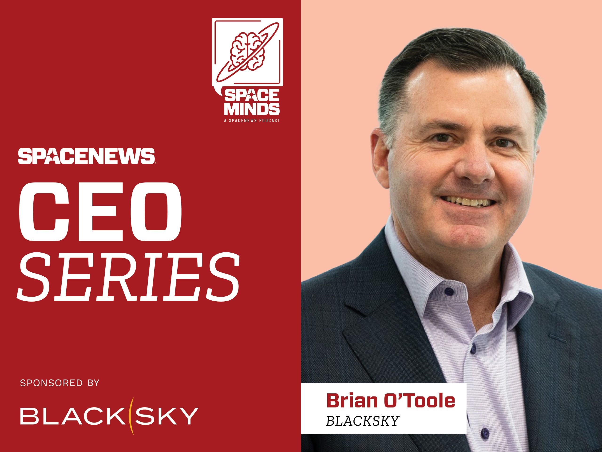
Click here for Notes and Transcript
Time Markers
00:00 – Episode introduction
01:05 – Welcome
01:32- NGA contract Win
02:45 – Working with NGA
03:37 – Congressional funding concerns
05:05 – Space Force programs
05:58 – European sovereignty
07:42 – Sovereign solutions pipeline
08:23 – The race for real-time
10:04 – Gen-3 satellites
11:32 – Role of AI
13:18 – AI accuracy
13:54 – Customer needs
14:40 – Example of operations impact
16:19 – Commercial opportunities
17:58 – Looking ahead
Transcript – Brian O’Toole Conversation
This transcript has been edited-for-clarity.
Mike Gruss – Hello and welcome to the Space Minds podcast. I’m Mike Gruss from SpaceNews, recording today in Paris as part of our CEO series at World Space Business Week, sponsored by BlackSky. I’m joined by Brian O’Toole, CEO of BlackSky and a longtime leader in the geospatial intelligence community.
There’s been some big news from BlackSky and the National Geospatial-Intelligence Agency. Can you tell us about the latest contract announcement?
Brian O’Toole – Yes, we received another award from NGA on the LUNO program. LUNO is now a program of record at NGA, focused on using commercial space data and analytics to solve mission-oriented problems. BlackSky has been deeply involved since the predecessor program, EIM, and now we’re a prime contractor on LUNO A and B. This latest award is one of the largest to date, and it’s an exciting step forward.
Mike Gruss – NGA has pointed to this program as a success story for working with commercial firms. What does that mean for you?
Brian O’Toole – It validates the role commercial companies can play. LUNO has grown significantly in scale, and it’s enabling integration of different data types—electro-optical, SAR, and others—along with AI to deliver actionable intelligence.
Mike Gruss – In Congress, there’s been a lot of discussion about funding cuts. What’s the latest, and what’s your message on the Hill?
Brian O’Toole – There’s strong support for the industry, even with budget challenges. Some of the money looks like it will be restored. More broadly, the U.S. government is putting more money into space and sees commercial industry as essential for cost-effective solutions. Programs like LUNO and the Space Force’s TACRS initiative show the value of rapid, flexible capabilities.
Mike Gruss – Space Force has been excited about TACRS in particular?
Brian O’Toole – Yes. It’s a rapid-response program where users can request information, companies respond quickly, and task orders are executed in short timelines. It demonstrates how commercial analytics and data can meet mission-specific needs.
Mike Gruss – Since we’re in Paris, autonomy and sovereignty have been major themes. What does that mean for your customers?
Brian O’Toole – There are big opportunities. With today’s more affordable commercial space solutions—EO, SAR, and others—countries can build sovereign capabilities. We’re already delivering sovereign solutions in places like Indonesia and India that combine commercial data, remote sensing, and AI.
Mike Gruss – Do you expect more announcements like that?
Brian O’Toole – Absolutely. We’ve strengthened our vertical integration by acquiring LeoStella, our satellite manufacturing partner. That allows us to manage everything from design and production to AI-powered intelligence software. The pipeline is strong, and demand is growing.
Mike Gruss – Let’s talk about real-time imagery. How close are we to true real-time?
Brian O’Toole – That’s the core of our architecture—reducing time from tasking to delivery. Even with our first constellation, users could log in, task a satellite, and get results in under 90 minutes. With proliferated constellations, advanced ground systems, and high-speed computing, latency will keep shrinking. The key is adding more assets.
Mike Gruss -You’re also rolling out Gen-3 satellites. What will they deliver by the end of 2025?
Brian O’Toole – Gen-3 satellites are a big leap forward: 35-centimeter imagery at significantly lower cost. Combine that resolution with high revisit rates and low latency, and it’s a new capability in the market. With AI applied on top, we’re delivering near real-time intelligence. We’re ramping production in Seattle and expect at least 12 Gen-3 satellites in orbit by 2026.
Mike Gruss – Speaking of AI—how are you using it at BlackSky?
Brian O’Toole – AI is part of our DNA. We use it in three main ways: analyzing global real-time feeds to guide collections, autonomously managing our constellation and tasking, and processing and interpreting imagery. Over 90% of our engineers are focused on software, AI, and data science.
Mike Gruss – Is AI delivering the accuracy and nuance your customers want?
Brian O’Toole – Yes, it’s improving quickly. Customers also want to understand how AI reaches insights, and building that trust is key. AI won’t replace analysts, but it makes them faster and more effective.
Mike Gruss – What are customers telling you about how they want to interact with imagery and data?
Brian O’Toole – They want integrated, actionable intelligence, not just raw data. Instead of static mapping, they’re focused on real-time operations. Our system can deliver imagery and analytics simultaneously—for example, automatically counting vehicles or aircraft.
Mike Gruss – What about commercial opportunities beyond government?
Brian O’Toole – The potential is significant. Businesses in finance, supply chain, and insurance need reliable, affordable intelligence. As frequency and accessibility improve, commercial adoption will grow rapidly.
Mike Gruss – Finally, give me a bold prediction. Where will the geospatial intelligence market be a year from now?
Brian O’Toole – I expect to see more sovereign systems and partnerships worldwide, as well as AI-driven applications delivering clear, practical use cases. Things are moving very fast—it’s an exciting time.


