The concrete seawall that runs along the edge of Lake Pontchartrain, stretching from the Industrial Canal to West End, is a favorite spot for joggers, cyclists, fishermen and families.
Gonzales resident Connie Thompson, who grew up in Gentilly, said she had always been curious about the seawall’s history. Thompson asked about the seawall’s construction and history, along with the scope of the wall: “I always wonder why the seawall was built around Lake Pontchartrain only on the New Orleans side? The year it was built? Was it to put people to work?”
The northshore has a similar, although smaller, seawall. The Mandeville concrete seawall was built in the 1930s as a Works Progress Administration project. The story of the New Orleans seawall is a bit of a deeper dive.
Kristi Trail, executive director of Pontchartrain Conservancy, reached back into the early days of European settlers and south Louisiana’s alluvial flood plain to begin to describe the seawall’s importance.
A growing city looks outward
After the Louisiana Purchase in 1803, the city began expanding, looking for ways to grow outward, Trail said. Back then, what is now the Lakeview, Gentilly and City Park neighborhoods were all swamps. By the late 1800s, the Lakefront was in constant use for commerce and recreation. Fishing camps were set up with elevated walkways and structures, but had to maneuver around Lake Pontchartrain’s tidal pattern. The Port Pontchartrain lighthouse, which still stands today, was floating out on the water, unconnected to land, Trail said.
Mechanical engineer Albert Baldwin Wood, whose impact on New Orleans drainage cannot be overstated, opened up new possibilities with his screw pump invention, patent filed in 1913. The screw pump could pump massive amounts of water, allowing for quick drainage of swampland — although this mass draining would eventually cause subsidence issues.
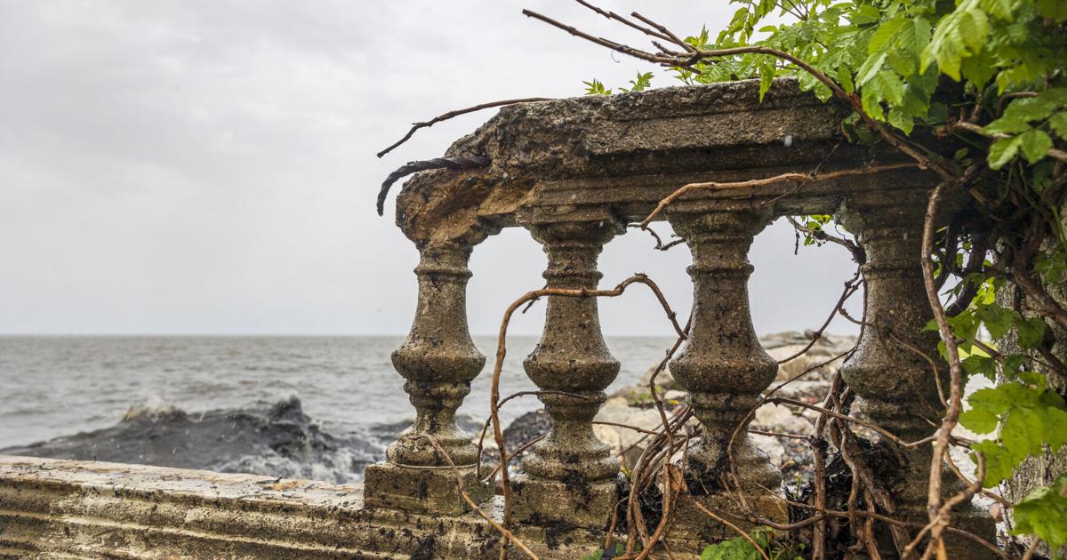
In the 1920s, the Orleans Levee Board began a huge project of reclaiming land from the lake. The lakefront development used clam shells from the lake to mix with sediment dredged from the lake bottom for this new land. In 1930, the Orleans Levee Board started what would be about a 2½-year project to build an 8-foot-high concrete seawall, according to the Lakefront Management Authority. The seawall was set into place to halt shoreline erosion and offer flood protection for the newly created area.
“The mud they are pumping in from the lake to fill in all that area, from Allen Toussaint to the seawall, it’s just mud, and it’s so soft to build on,” Trail said. “So this is when the clamshell dredging began in the lake.”
Those clams were taken out of the lake to mix in with those soft soils in the neighborhoods, Trail said. “Those neighborhoods are all built on reclaimed land, as a result of the sea wall going in, which allowed those neighborhoods to be built,” she said.
Dredging harmed lake environment
The project indirectly led to Trail’s current job — large-scale clam dredging led to massive environmental lake degradation. In the wake of this degradation, environmental advocacy groups popped up to defend the lake, one of which became the Pontchartrain Conservancy.
Since clamshell dredging was banned in 1990, the lake has started to bounce back. As for the Lake Pontchartrain Seawall, it remains in place, battered but still gamely holding up against the waves of the lake.
“It’s solid concrete installation techniques. …I would bet it’s probably sunk a pretty good bit over time, but I don’t have the data on that,” Trail said. “We’re out there every day, we see it. It’s still there. It’s still doing its job.”