In an analysis released on the eve of National Public Lands Day, a Colorado environmental non-profit has issued a report listing what it calls the 10 most at-risk wild lands on the Western Slope.
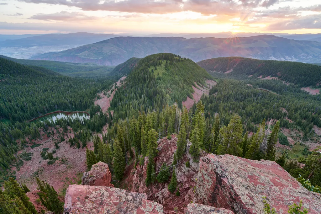
Saying Colorado’s rivers, forests and open spaces are threatened by development, the list compiled by the Carbondale-based Wilderness Workshop includes the Upper Colorado River, the Homestake Valley near Red Cliff, the Crystal River south of Carbondale and the Thompson Divide, also near Carbondale. The detailed 28-page report is called “Wild for Good,” meaning forever, and is available on the Wilderness Workshop website.
“It’s looking at these landscapes that form the backbone of our way of life in Colorado — clean water, clean air, wildlife and our outdoor rec economy,” said Michael Gorman, the Wilderness Workshop’s campaign director. “It’s both a roadmap and a warning. It’s really looking at how we can be proactive to protect these areas — and what could happen if we don’t.
“With everything going on right now (in politics),” he added, “we’re hearing loud and clear from our communities across the Western Slope that people really want to be proactive about protecting the places they love the most, and doing that before they are lost to drilling or more development.”
At stake, the report says, are migration corridors for elk, mule deer and Canada lynx, forests that remove carbon from the atmosphere, clean water, clean water and outdoor spaces that attract visitors to the benefit of the state’s economy.
The biggest threats are oil and gas drilling, mining, new road construction and efforts in Washington to sell off federal lands, Gorman said.
“Every year the pressure keeps growing. There’s always more (oil and gas) leasing, more proposals for new roads or water developments,” Gorman said. “Rather than chipping away at these wild places, if we don’t get ahead of this, we’ll just be constantly fighting to hold onto the scraps of what’s left.”
The aim of the report is to galvanize support for protecting those wild lands, focusing on those that seem like “winnable fights” because of existing community support, Gorman said.
“We’re looking for permanent protection,” Gorman said. “That’s the best way to really protect these landscapes against the growing threats we keep seeing. They’re not just beautiful backdrops. They really are what form the basis for our way of life and our economy.”
Filling out the top 10 at-risk places as identified in the report are the Continental Divide, the Dolores River Canyon in the southwest corner of the state, the Dinosaur National Monument area in the northwest corner of the state, the North Fork Valley of the Gunnison River, Red Table Mountain between the Roaring Fork and Eagle river valleys, and the Roan Plateau near Rifle.
“There are many, many more lands in our region that must also be protected and conserved so that we have a vibrant wildlands network to sustain our human and natural communities — ranging from roadless areas to working lands,” the report states.
“These 10 priority landscapes are anchors in that network, places we’ve identified as deserving of and needing durable protections to support the ecological vitality of the whole region,” the report goes on. “By creating and sustaining thriving ecosystems in our neck of the woods, we in turn sustain and contribute to healthier natural systems across the state of Colorado and the West.”