By DC Correspondent
Copyright deccanchronicle
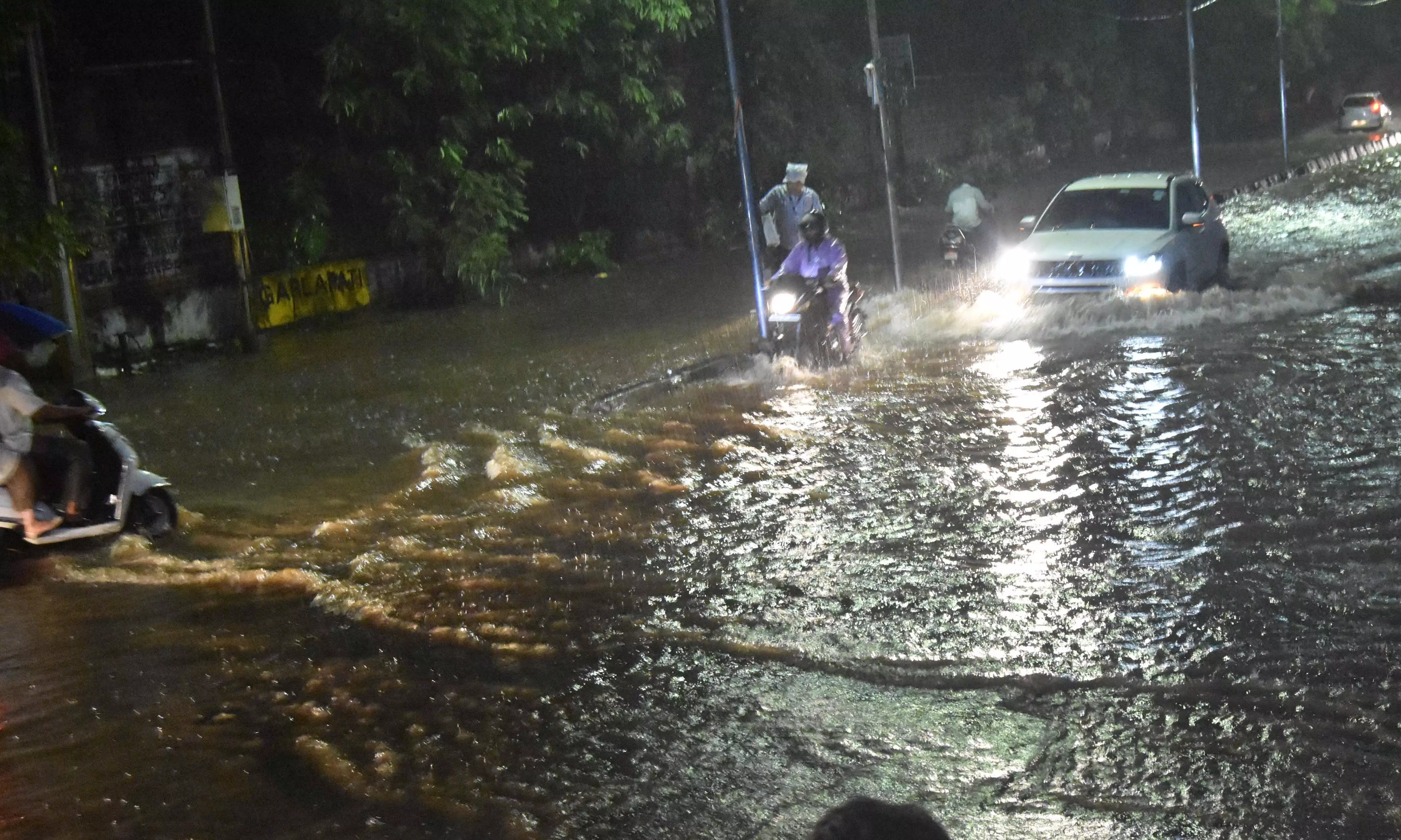
Visakhapatnam: The Andhra Pradesh Disaster Management Authority (APDMA) has issued weather warnings as a persistent atmospheric trough continues to trigger heavy rainfall and thunderstorms across multiple districts in the state.According to Prabhakar Jain, Managing Director of the APDMA, a weather trough extending from the west-central and southwest Bay of Bengal through East Vidarbha, Telangana, and South Coastal Andhra Pradesh is maintaining its position at around 0.9 kilometres above sea level. The system is expected to bring heavy rains with thundershowers to isolated areas in Rayalaseema over the next two days. For Thursday (September 18), moderate to heavy rainfall accompanied by thunderstorms is forecast across several coastal districts, including Konaseema, East Godavari, West Godavari, Eluru, Krishna, Guntur, Bapatla, Prakasam, Nellore, Chittoor, and Tirupati. Other districts are likely to receive light to moderate rainfall. On Wednesday, IMD Amaravati reported that Ongole in Prakasam district recorded the highest precipitation at 6.45 cm, followed by K. Uppalapadu (4.7 cm), Vemulapadu (4.5 cm), Chilakapadu (4.02 cm), Rajam in Vizianagaram district (3.9 cm), and Kakinada (3.9 cm). The meteorological department has issued a five-day warning beginning September 17. Heavy rainfall is likely at isolated places over South Coastal Andhra Pradesh (SCAP) and Rayalaseema during the first two days, while thunderstorms accompanied by lightning are expected across North Coastal Andhra Pradesh (NCAP), Yanam, SCAP, and Rayalaseema throughout the period. Strong winds with speeds of 30–40 kmph are anticipated at isolated locations across all regions for the entire five-day spell. From September 19–21, although heavy rainfall warnings will be lifted, thunderstorms with lightning and strong winds will continue to pose risks across the state.