4Warn Weather – Metro Detroit begins the week and the start of fall on a soggy note, as showers and thunderstorms return to the area.
While a couple of rain showers will be possible during the evening, skies will become partly cloudy at night.
Patchy fog will also develop in some spots overnight. Lows will fall to the lower-60s.
Tuesday
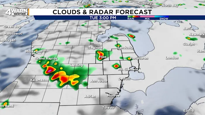
Tuesday will bring unsettled skies with periods of rain and humid air, as temperatures climb into the mid- to upper-70s.
The timing of showers and storms could be an inconvenience for hockey fans heading downtown, with the Red Wings set to face off against the Chicago Blackhawks at 7 p.m.
Wet roads and passing showers may make travel slower. So, packing a raincoat or umbrella will be helpful.
Although an isolated shower cannot be ruled out Tuesday night, skies will be partly cloudy for most of Southeast Michigan.
Lows will be around 60 degrees.
This early-week rain is welcome for a region that has been battling drought conditions.
Much of Southeast Michigan has been classified as abnormally dry, with some pockets of moderate drought.
The rainfall expected this week will provide short-term relief by moistening parched soil and offering a boost to vegetation.
However, it will not be enough to fully erase the deficit built up over recent months.
Frequent rain will still be needed in the weeks ahead to truly break the drought.
Wednesday and Thursday
Looking ahead, the middle of the week keeps Metro Detroit in a cooler and wet pattern. With seasonable temperatures, highs will settle in the lower- to mid-70s on Wednesday and Thursday. Occasional showers will be possible, especially during the afternoon and evening. Lows will be in the mid-50s.
Friday
Friday remains on the cooler side with a chance of a passing shower, but conditions will gradually improve.
This Weekend
By Saturday and Sunday, brighter skies take over as sunshine returns. Temperatures will warm into the mid-70s, and a calmer, more comfortable pattern emerges just in time for weekend plans.
Tracking the Tropics
While Metro Detroit deals with its own showers and chance of storms, eyes are also on the Atlantic, where Hurricane Gabrielle intensified into a major Category 3 storm on Monday morning.
Packing winds of 120 mph, Gabrielle is churning northward well southeast of Bermuda.
The system is not expected to make a direct strike on the United States, but its reach will still be felt.
Large ocean swells are forecast to push toward the East Coast this week, creating dangerous surf and rip currents from the Carolinas through New England.
Even without landfall, Gabrielle serves as a reminder of the far-reaching effects powerful hurricanes can have—impacting coastal safety and travel along the Atlantic shoreline.
Whether you see rain or sunshine in your neighborhood, share your weather photos and experiences with the 4Warn Weather team at MIPics.
Find the latest forecast from the 4Warn Weather team here
Remember to download the free 4Warn weather app — it’s easily one of the best in the nation. Just search your app store under WDIV, and it’s right there, available for both iPhones and Androids! Or click the appropriate link below.