By Rachel Cronin
Copyright dailyrecord
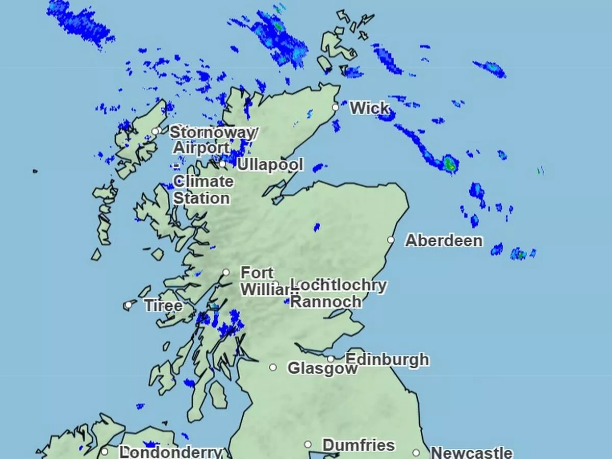
It’s safe to say that we’ve seen a rainy start to autumn, with seemingly non-stop showers since the start of September, and even some yellow rain warnings last weekend. And while today, Monday, September 22, is looking crisp and bright for almost the entire country, the Met Office has named two unlucky Scots areas that are to see more wintery downpours. Although areas of southern Scotland were affected by a two-day rain warning last weekend, which came with a small risk of flooding and even danger to life, we’re in for a much drier start to this week. In fact, almost all of Scotland is to see a pleasant if chilly day today, apart from two northern areas which remain caught up in the showers of a lingering low-pressure system. While temperatures have been cold this morning, Met Office Meteorologist Kathryn Chalk explains that most of us are in for a bright morning filled with blue skies, saying: “Out there at the moment we have plenty of blue sky and we’ll hold onto that through much of the day. “Cloud generally building across western Scotland and the main focus for showers through the afternoon is really confined to Orkney and Shetland, still running down on that brisk northwesterly wind.” Scots may see some cloud throughout the day, but the sun should peak through at points. Chalk adds: “Temperatures are a little bit below average for the time of year, but in the sunshine, away from any of the stronger winds, it should still be feeling quite pleasant in that strong sunshine.” Temperatures today peak at 14C around the central belt, which is certainly colder than the mild conditions we’ve seen so far this autumn. The rest of the Scotland should see the mercury hover between 12C and 13C for the majority of the afternoon, before things begin to cool off into the evening, when temperatures will range between 7C and 10C, according to Met Office weather maps. The weather expert continues: “As we go through Monday evening then, most of the cloud will melt away across northern parts of England, Northern Ireland and Scotland. “For the vast majority, it’s a dry night to come to start Tuesday morning, still a few showers across the Northern Isles, but otherwise temperatures are going to be falling away once again. “Also a few mist and fog patches, but a touch of frost, especially in the countryside to start Tuesday morning.” But while the winter cold seems to be setting in, we’re to see another mostly dry day on Tuesday, with Orkney and Shetland finally catching a break from the rain. The meteorologist adds: “There’ll still be plenty of sunny spells and a much drier picture across Orkney and Shetland as we go through the afternoon, with sunny spells here and much lighter winds.” This period of drier weather comes after last weekend’s washout which saw areas of the Scottish Borders come under a yellow rain warning on Saturday and Sunday. Met Office predictions saw rainfall of up to 100mm expected across the warning zones, which spread south into England and west into Northern Ireland and the Republic of Ireland. However, the national forecaster then reduced the size of the alert zones, leaving only a few Scottish areas in the Borders in danger of flooding and travel disruption due to the rainfall.