By Aibarshyn Akhmetkali,Fatima Kemelova
Copyright astanatimes
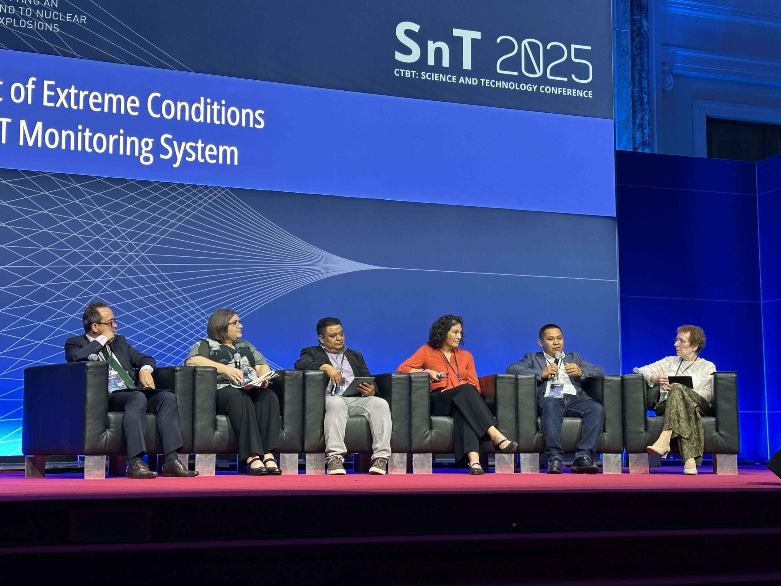
VIENNA – As the shadow of nuclear testing hangs over the world, scientists from Kazakhstan reveal on-the-ground applications of nuclear test monitoring systems in glacier research at the Comprehensive Nuclear-Test-Ban Treaty (CTBT) Science and Technology conference (SnT2025) in Vienna on Sept. 11.
Kazakhstan is among the signatory and ratifying states for the CTBT, which prohibits nuclear testing “by everyone, everywhere, and for all time.” The treaty is nearly universal, with 187 states having signed it and 178 having ratified it. But it has not taken effect because the treaty still needs ratification by nine nations – China, Egypt, India, Iran, Israel, North Korea, Pakistan, Russia, and the U.S. – that have nuclear power or research reactors.
The treaty is backed by a global network of sensors known as the International Monitoring System (IMS). The IMS combines seismic, hydroacoustic, infrasound and radionuclide monitoring technologies to detect nuclear tests. Data from the sensors is continuously transmitted to the CTBTO’s International Data Center in Vienna, which then distributes the information to all signatory states. Over 300 monitoring stations are deployed worldwide, sending data.
What else can those sensors be used for? Far more than one might expect: from contributing to earthquake and tsunami warnings to climate change studies, IMS is applied worldwide beyond nuclear test monitoring.
Research on Tien Shan glaciers
Aidyn Mukambayev, deputy head of Kazakhstan’s National Data Center and researcher at Kazakhstan’s National Nuclear Center, spoke to The Astana Times about how IMS is applied in Kazakhstan.
Kazakhstan has five IMS stations: one primary seismic station, three auxiliary seismic stations, and one infrasound station. Makanchi primary seismic station is located near Lake Alakol, Kurchatov station is 120 kilometers from Semei, between Pavlodar. There is also a station in Burabay and two stations in Aktobe in western Kazakhstan.
Back in 2005, the Makanchi IMS station detected small magnitude events, locating them 550 kilometers deep in the Tian Shan mountains.
“Our analysts first noticed this phenomenon back in 2005-2006, when the Makanchi station began recording some strange events. Sometimes, the number of events per day reached 100 – all from one location. We brought this to the attention of our colleagues, including our director, Natalya Nikolaevna. In 2009, the first article was published about these events. Analysis showed their epicenter in the high Tien Shan region of China, right on the glaciers, leading to the hypothesis that the activity was glacier-related,” Mukambayev said.
A dedicated team of scientists at Kazakhstan’s National Data Center was able to take an even closer look at the events after installing three temporary stations near the glacier in 2024. The closest station was located around 70-90 kilometers from the site.
Using readings from those three stations, they conducted a comparative analysis between two zones: one where ordinary seismic activity was common and another in the new zone. They analyzed how seismic activity changed throughout the day.
“This graph covers a full 24 hours. The red line represents ordinary seismic quakes, which occur throughout the day, so they show no day–night pattern. But the events in our [glacier] zone occur mainly at night, with only a few happening during the day,” Mukambayev said.
“We carried out the same analysis across the entire year to track seasonal changes. As expected, regular earthquakes show no difference between summer, winter, or spring. But the glacier-related events occur mostly during the winter months,” he added.
A clear correlation between dropping temperatures and glacier events has been detected.
“As the temperature decreases, the size of the ice increases – it expands. When it expands, it starts to crack and the stations pick up those weak cracks as activities. When the ice breaks off, chunks fall from a certain height onto the surface below. The impact of that mass hitting the ground generates seismic vibrations, which are also detected by the station,” Mukambayev said.
Based on data detected by IMS stations, researchers classify the events into four types: ice expanding and cracking, ice breaking off, ice hitting the lower ground, and ordinary tectonic activity.
Mukambayev explains that the frequency of such events in one zone is due to the terrain, specifically where glaciers start moving through the intermountain depressions.
“If you look at the big picture, yes, the Tien Shan mountains stretch a long way and are covered entirely by glaciers. But such occasions are not the case everywhere. What you see here happens only in this specific spot because the geomorphology and terrain are very complex. There are deep depressions and sharp twists where the ice flows, bends, and breaks, crashing as it drops from high elevations down to lower ones,” said Mukambayev.
Application in addressing climate change and mapping
IMS technology has applications that extend far beyond nuclear test detection, serving a wide range of scientific purposes. For Kazakhstan and the broader Central Asian region, glacier melt driven by global warming poses a serious threat that scientists are working to address.
“With global warming, glaciers are melting and breaking down more quickly. During the day, there is activity associated with the melting of the glacier, at night – with its destruction. The higher the temperature, the more the glacier is subject to change. In other words, during the day, it melts rapidly, and then at night, it begins to cool rapidly, thus destroying itself faster. There’s a clear pattern to it,” said Mukambayev.
Although their research will focus on the effects of climate change on glaciers, it is still too early to draw any conclusions due to insufficient data.
“We only installed these stations in 2024, so we need more data to perform this kind of analysis [on climate]. It would be wrong to draw specific conclusions based on data from just one year or two,” Mukambayev said.
“Our task now is to create a database of glacial earthquakes. Every event goes into the catalog, where it must be labeled either as a natural tectonic earthquake or a glacial quake. If we were to treat these events as ordinary seismic activity, we might mistakenly predict a major earthquake in the area,” he said.
Mukambayev explains that natural earthquakes are often preceded by a series of small tremors. If glacial activity is not labeled as such, it could be mistaken for those precursor quakes, distorting seismic hazard assessments and leading to false forecasts.
It is especially important in seismically active zones, such as Almaty.
“For example, when it is necessary to draw the general zoning or detailed zoning maps, we provide all the information and cooperate with them [Institute of Seismology]. The territory is zoned according to the degree of seismic hazard, and building norms and regulations are developed based on that. This determines what can be built and where. In Almaty, for instance, construction must take into account a 9-10 point hazard rating, while in a nearby area, it might be a seven-point zone, where extra reinforcement isn’t necessary,” said Mukambayev.
In the future, the center plans to expand its research coverage territory.
“We want to study Dzungaria [Dzungarian Alatau] together with the Tian Shan Mountains, because Dzungaria also has glaciers. In general, Dzungaria occupies the largest area of glaciers in Kazakhstan. There are glaciers in the Tian Shan Mountains, but they are mostly located in China or Kyrgyzstan,” Mukambayev said.
How to distinguish an explosion from an earthquake?
On a global scale, the IMS helps prevent misinformation about events that might otherwise be misinterpreted as nuclear tests. When an earthquake struck Iran last year, several news outlets misreported it as a nuclear weapons test, amplifying a misleading narrative that quickly spread.
However, data from more than 25 stations in the global IMS network suggested otherwise. CTBTO swiftly confirmed that the event was unrelated to nuclear activity.
Explosions, be it a nuclear blast or detonation, can create tremors, but they are distinct from those caused by natural earthquakes.
“As you know, most explosions occur on the surface, while earthquakes occur at a depth of five kilometers or more. Accordingly, when an event such as a quarry detonation occurs, it has a very clear and strong surface wave. But this is something you rarely see in an earthquake unless it’s very shallow,” Mukambayev said.
Researchers scour the seismogram for spikes known as P-waves (primary waves) and S-waves (secondary waves). Explosions and earthquakes have very different signatures.
“Explosions have a very clear and strong first or primary entry [P-wave]. In an earthquake, the main energy is concentrated in the second wave, the S-wave,” Mukambayev said.
An effective collaboration between CTBTO and the media could serve as a valuable preventative mechanism against false reports and misinterpretations of data.
This year’s SnT2025 conference, held on Sept. 8-12 in Vienna, brought together over 2,000 participants from 153 countries, who presented on disciplines related to seismology, medical gas monitoring, infrasound oceanography, machine learning, and data science, among others.