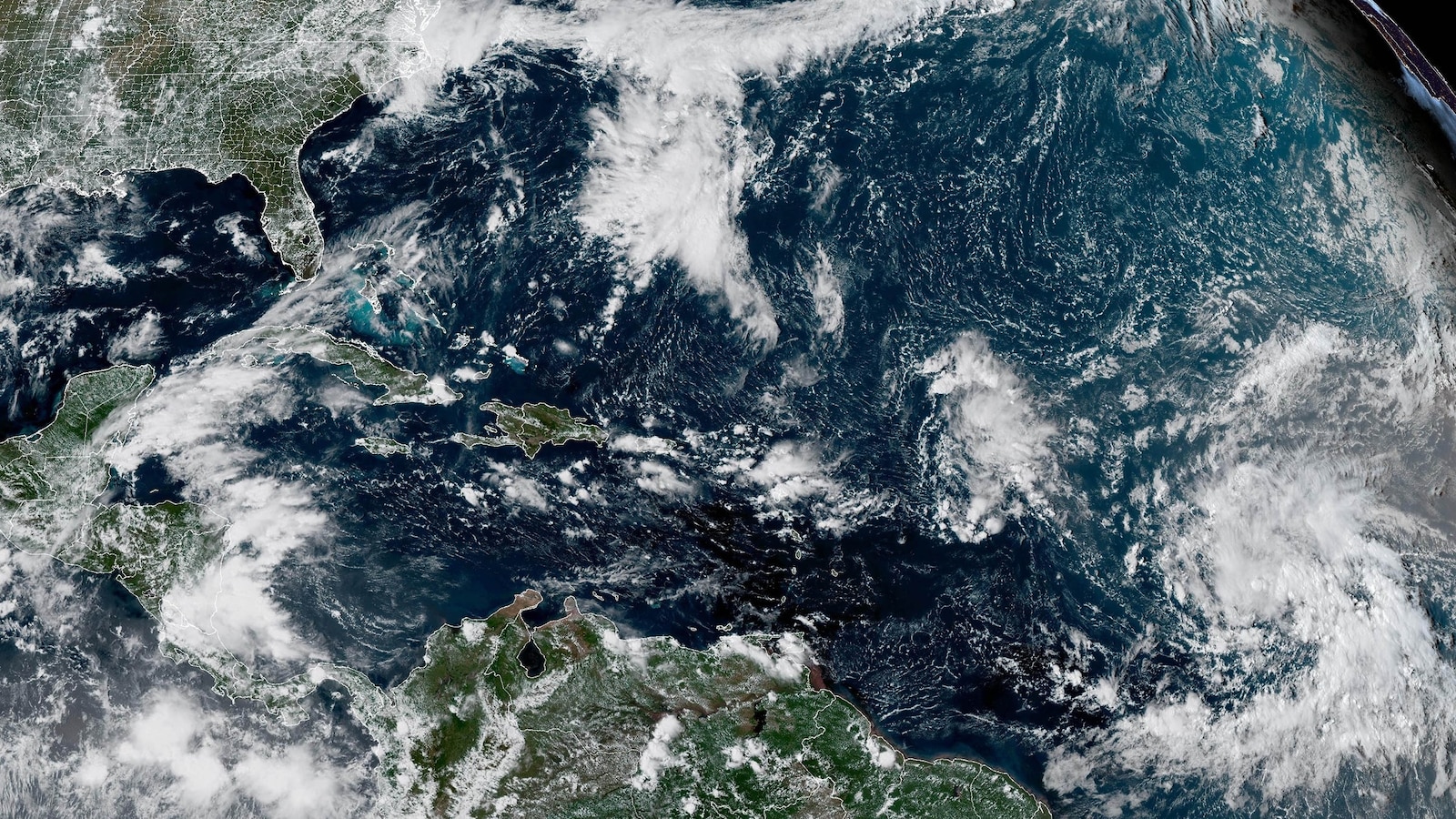
The Atlantic basin may have been quiet going into the peak of hurricane season, but a new storm is expected to develop in the region in the coming days.
The National Hurricane Center is monitoring a tropical disturbance in the central Atlantic for potential development this week.
The system, currently a broad area of disorganized showers and thunderstorms, now has a 90% chance of development within the next seven days, according to the latest forecast.
Although dry air and other unfavorable atmospheric conditions have recently hindered development, the disturbance is expected to move into a more favorable environment later this week, giving it a better chance to become organized.
On Monday morning, the NHC designated the system as “Invest 92L,” a classification that signals closer monitoring and allows for the collection of specialized data, including the production of the well-known spaghetti models.
The disturbance will likely become a tropical depression or tropical storm by the end of the week as it churns northwestward across the central Atlantic Ocean.
The system would become a tropical storm when maximum sustained winds reach at least 39 mph.
The next named storm will be called Gabrielle.
While the Atlantic Basin appears increasingly likely to see its seventh named storm of the season, most forecast guidance currently keeps the system well away from land for the foreseeable future.
The development of a new tropical cyclone would mark the end of a notably quiet period in the Atlantic Basin, a stretch that included the climatological peak of the hurricane season on Sept. 10.
Tropical activity is expected to gradually ramp up over the next few weeks as conditions become more favorable for development, forecasters say.
NOAA’s Climate Prediction Center said the odds of tropical development are increasing across parts of the Atlantic Basin for the second half of September, as large-scale environmental conditions become more favorable.
Tropical weather experts at Colorado State University (CSU) echo these predictions, saying overall atmospheric conditions, including wind patterns, will shift in a manner that supports a notable increase in activity.
While the climatological peak of the Atlantic hurricane season has passed, roughly 60% of tropical activity typically occurs after Sept. 10, on average, according to the National Hurricane Center.
The remainder of September and October will likely be active, David Zierden, the Florida state climatologist and head of the Florida Climate Center at Florida State University, told ABC News last week.
September and October often see some of the busiest activity for hurricanes because sea surface temperatures can be at their highest, Zierden said. Higher temperatures provide “ample fuel” for the formation and intensification of tropical cyclones, he added.
Waters in the Gulf and Caribbean are currently “very warm,” Jennifer Francis, an atmospheric scientist at the Woodwell Climate Research Center, told ABC News last week.
Historically speaking, about two-thirds of all Atlantic hurricane season activity occurs between Aug. 20 and Oct. 10. In August, NOAA predicted above-normal activity for the remainder of the Atlantic hurricane season.
Last year demonstrated that late September and early October can be an active period for tropical development, with multiple threats that may be high-impact and potentially devastating.
Hurricane Helene, which caused devastating flooding in North Carolina, formed on Sept. 24, 2024, while Hurricane Milton, which caused widespread destruction in Florida, formed on Oct. 5, 2024.


