Copyright birminghammail
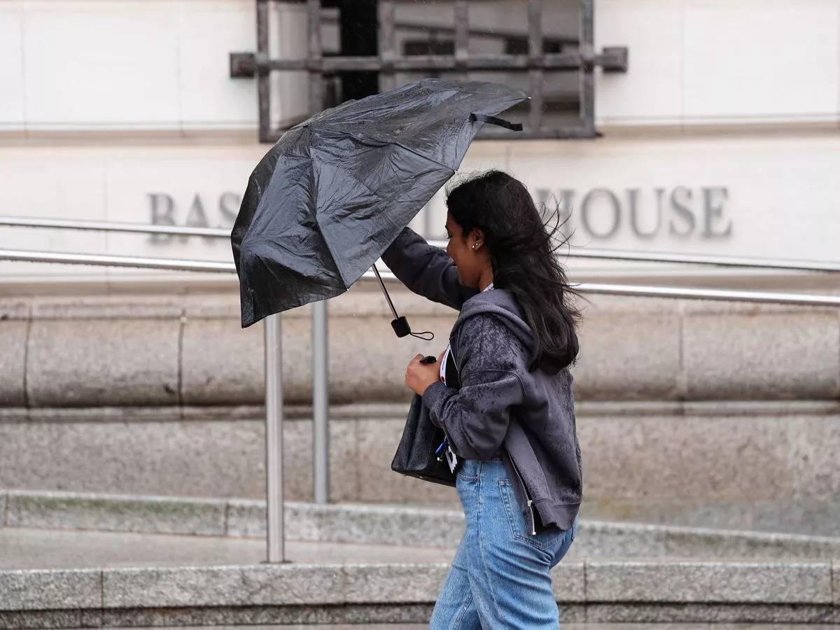
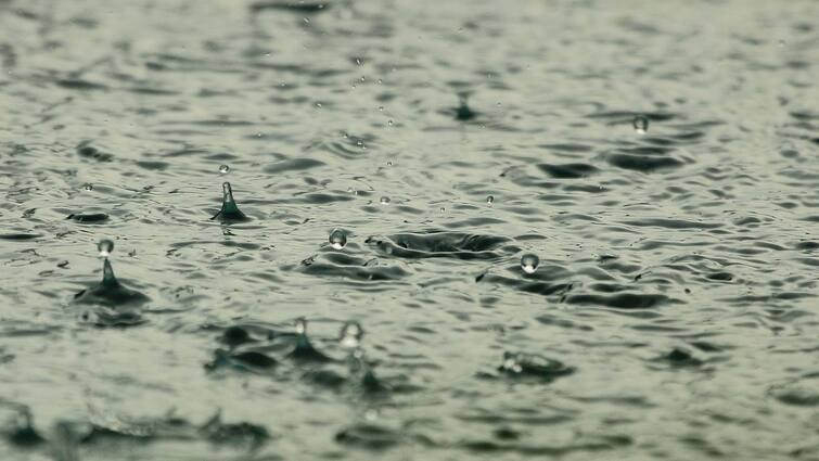
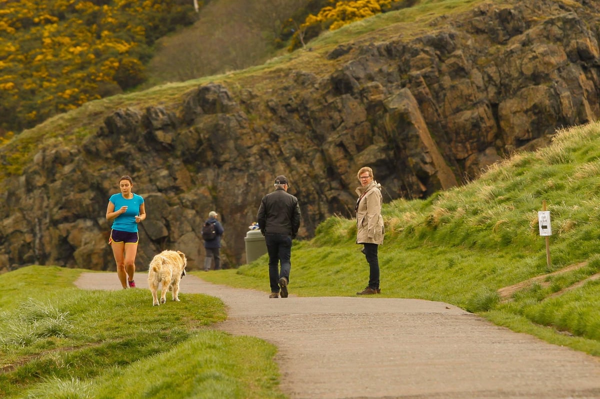
The UK is gearing up for a huge 742-mile storm, as the latest weather maps show unsettled conditions to hit the country next week. Weather maps from WXCharts, prepared using MetDesk data, have turned purple for October 4, indicating the possibility of stormy conditions with gales up to 89mph crashing into the UK, reports Express.co.uk. The massive storm, covering Wick to Plymouth, is likely to impact most areas of the country next Saturday (October 4) at different times of the day. READ MORE: Two counties in England set to be battered by 75mph gales arriving this week Get breaking news on BirminghamLive WhatsApp , click the link to join According to the maps, the stormy weather will begin to hit the country at around 6am with a few places in north and southern parts of the UK initially impacted by the rainy conditions. The windier weather and outbreaks of rain will leave 29 counties impacted in the first week of October. Parts of Surrey, Berkshire, Buckinghamshire, Hampshire, West Sussex, Oxfordshire, Wiltshire, Somerset will be the worst affected with a possibility of 5-10mm of rain per hour. But, the temperatures are not likely to drop massively with mercury levels oscillating between 9 and 10C during the same period. Other parts around Manchester, Leeds, Birmingham , Worcester, Stoke and Liverpool will see rainfall upto 1mm per hour, the maps have suggested. Parts of Scotland will be among the first areas that will see the impact of rainy weather with areas around Wick, Inverness, Edinburgh and Glasgow experiencing showers at around 6am on October 4. The temperature levels will plummet to single digits with mercury levels plunging to 6-7C. The Met Office’s long-range forecast between September 30 and October 9 reads: “Relatively settled conditions are likely for most parts to start the week. "There will however be cloudier conditions in the northwest with outbreaks of rain and drizzle at times. “Through the week while showers or perhaps longer spells of rain are possible for all areas at times, the wettest weather is likely to continue be focused on the northwest of the country. “Any spells of windier weather are more likely in the northwest too. "Elsewhere, there is a better chance of more prolonged fine and dry weather along with morning mist and fog patches in places. “Later in the period the chance of deeper areas of low pressure bringing wet and windy conditions increases but this is highly uncertain. "Temperatures generally around average.”